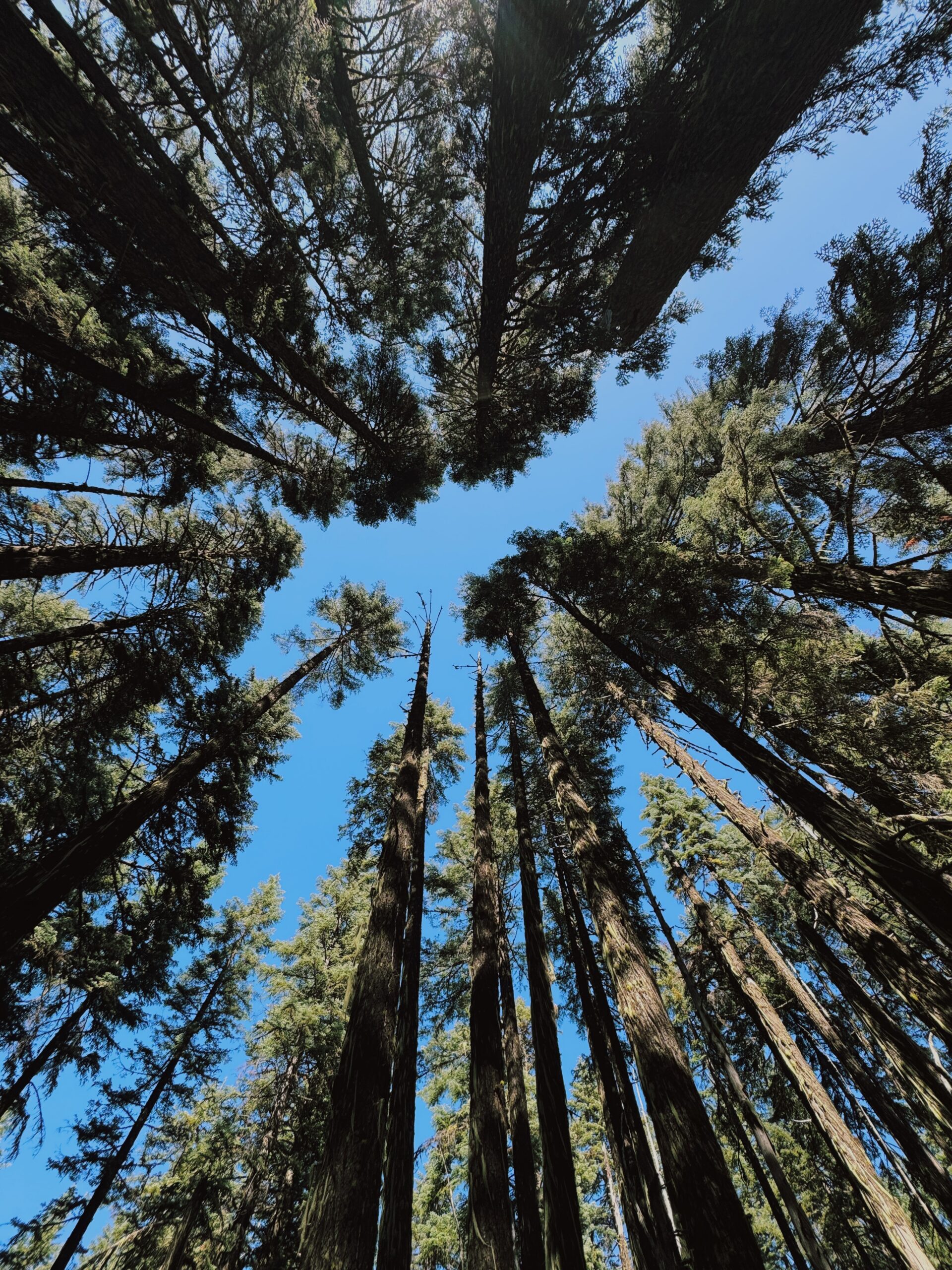
DAY 1 (106 TOTAL)
SOBO Mile 880.9 (Highway 140) to SOBO Mile 903.9/Klum Landing Campground, 23 Miles
1,693.5 Total PCT Miles
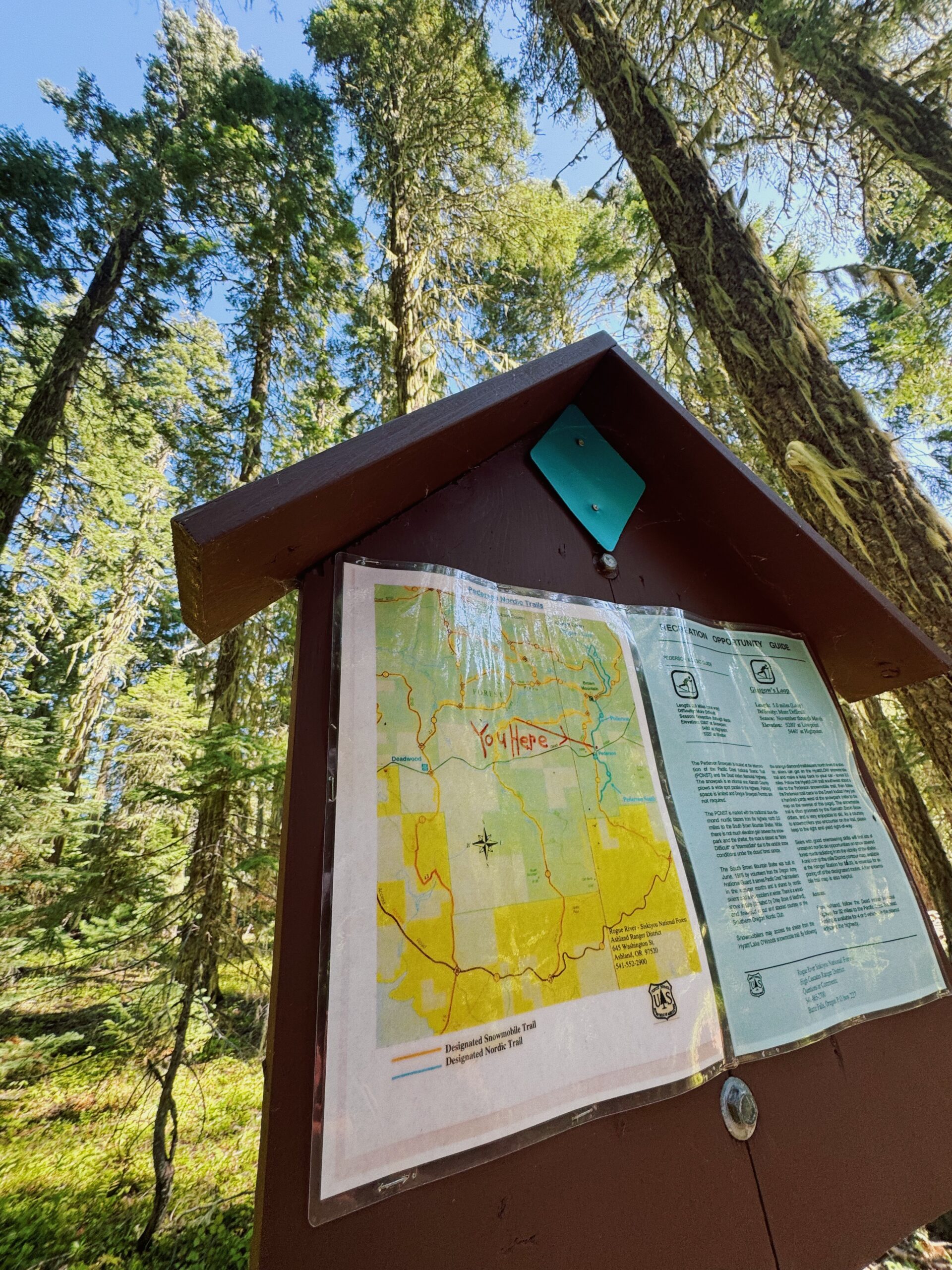
It’s 11:00am and I’m disappearing into the woods, having just crossed Highway 140 after getting dropped off by Kellen. 11:00 am would be a nearly diabolical time of day for me to start backpacking on a normal day. Unless I were heading out from a town stop, there’s just no world in which I’d want to start that late. Today, however, is not a normal day. Today is the start of slackpacking southern Oregon.
The formula for a slackpack is simple: Choose a section of trail that often crosses easily accessible roads. Find campgrounds either just off trail or within a reasonable driving distance to stay at each night. Recruit someone who loves you to drop you off, pick you up at said road crossings when you’ve hit your miles, and bring you back to trail in the morning, essentially becoming your one person crew. Preferably, choose a few days with dreamy weather. (September continues to be an excellent option). Then, go light. Go fast.
It’s simple, that is, if you can find someone to commit to the whole “being your one person crew” bit. Thankfully, Kellen was in for the adventure (and executed flawlessly).
As with any adventure though, sometimes the hardest part is just getting to the start. We’re up early to finish packing the food and the car camping gear. I make so many trips from the house to the car that it looks like I’m moving into the woods. There’s room to pack luxuries and so I do. New hiking clothes for each day. The good camp shoes. Camp chairs. Pillows. (Real pillows! None of this “puffy shoved into my sleeping bag stuff sack business I usually do). Real food. If I even think I might want it, I bring it. And then, we are off on the drive to southern Oregon and the miles that await me there.
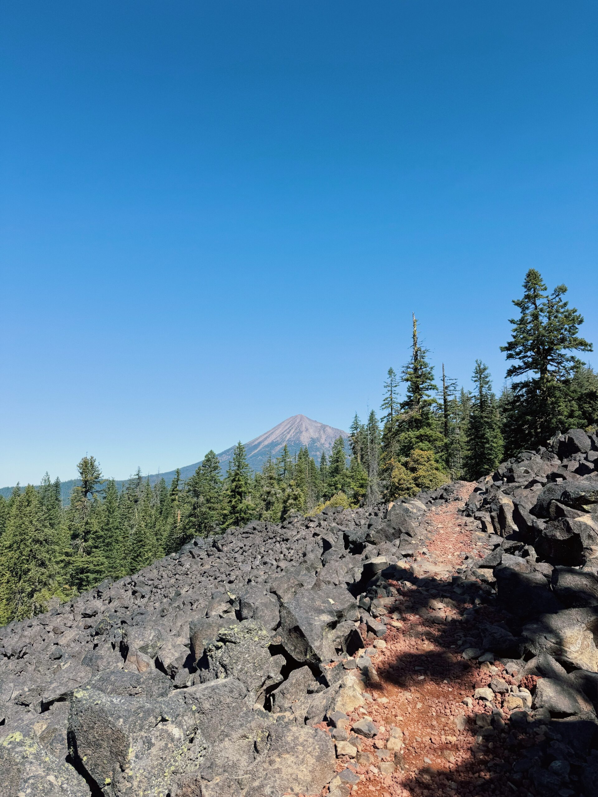 The first few, once I’ve darted away from the road, are rockier than I expected, even in the woods. Wow, I love Oregon but will not miss all of the lava rock the trail covers (see here, and here). Today will be my longest day of the three, and it’s also the hottest. I run some, I hike some, really just going with the flow of my energy and the flow of the trail. A couple of miles in I pass two backpackers taking a break on the side of the trail. We say a quick hello as I run past, mutually looking surprised to come across other people. I don’t see anyone else after that.
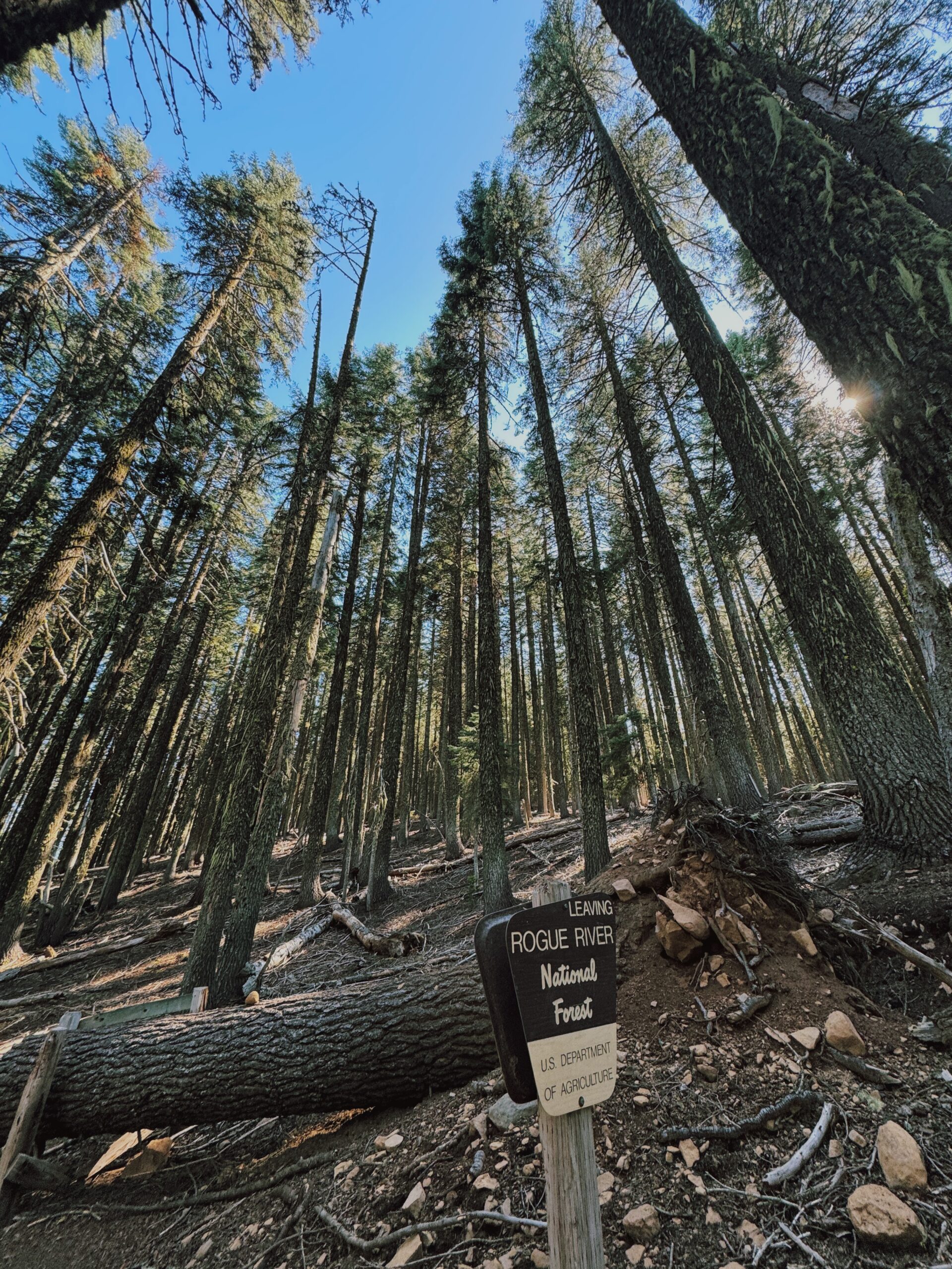
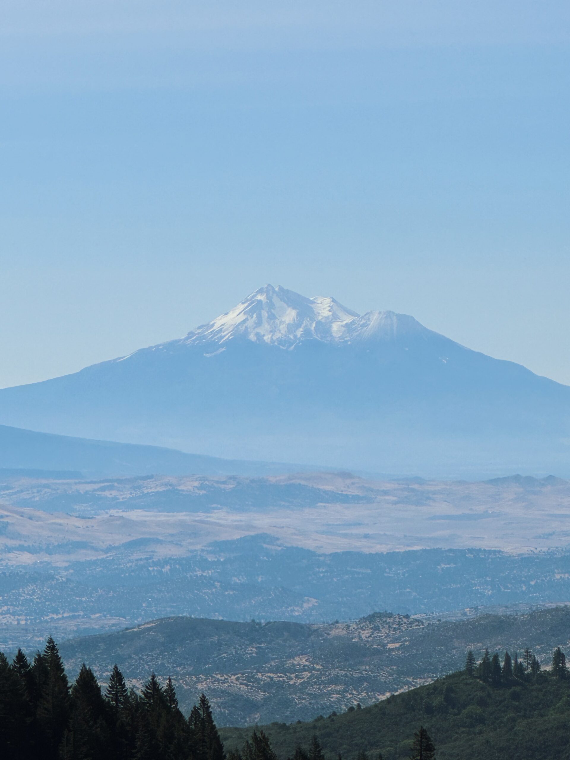
As I leave the highway behind, I look back to get my final views of Mt. McLaughlin. Later in the afternoon, I’ll get one glimpse of Mt. Shasta, but otherwise it’s varying degrees of forest.
Light and fast is fun. I’m wearing cotton, and while my running vest is loaded with water for the dry section, and plenty of snacks, (ok fine I carry a trowel, my GPS, and my Houdini layer just in case), it still feels like nothing. Light and fast also means the miles melt away almost effortlessly. It’s not that there aren’t some decent climbs, or the heat isn’t noticeable, but with so little to carry, everything is smooth.
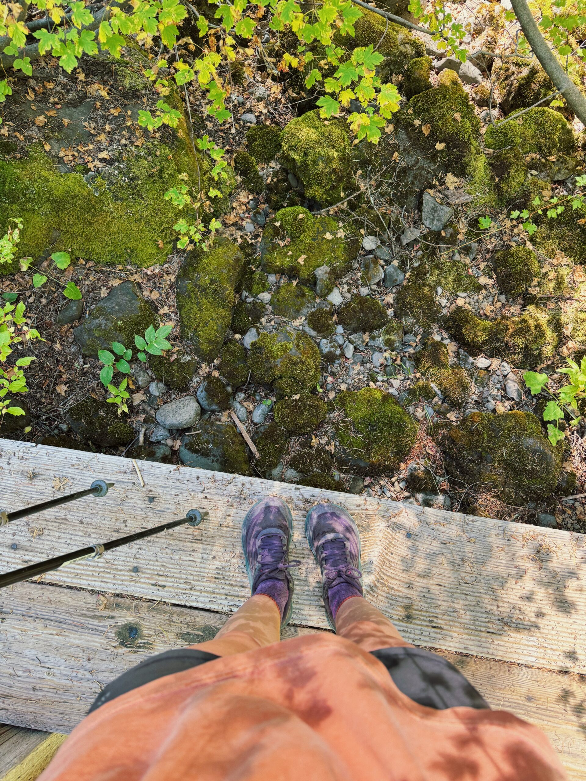
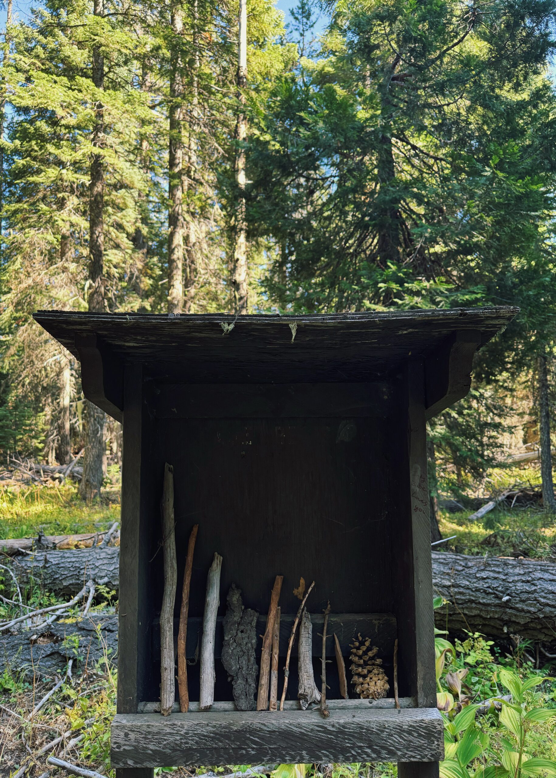
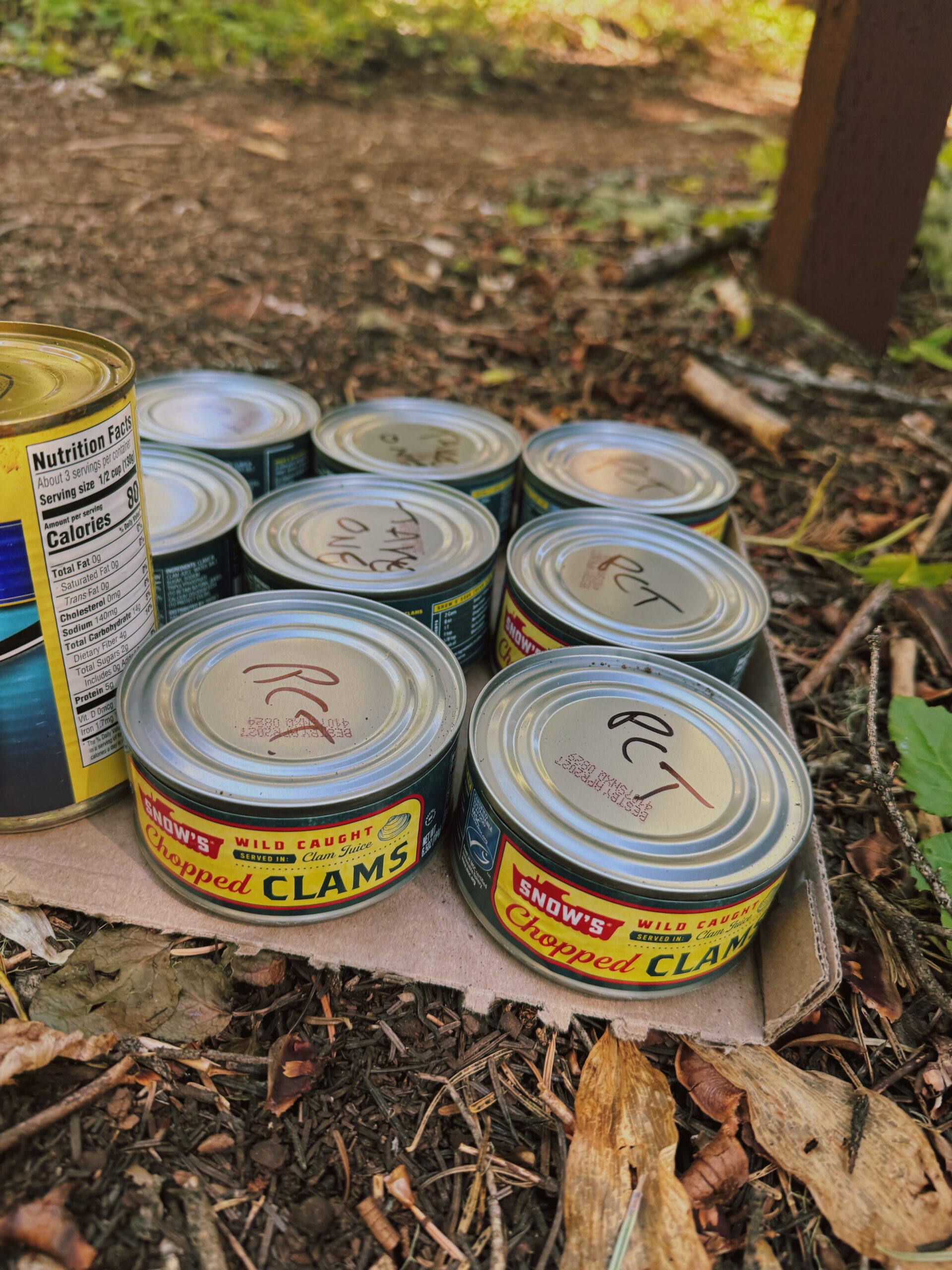 ^^ Hard pass for me, but I hope they make some hungry hiker happy.
I am amazed at the dryness of this section. No ponds, creeks, streams, rivers, lakes. Even the few year-round sources, usually marked as “reliable” on the map, are bone dry. There is not a single flowing source besides the questionable aqueduct right before the campground, and supposedly a pump at a shelter off trail. I don’t bother to check out either. Given my pace, I’m able to carry just about enough water for a full day. There’s also less reason to take a break in general, given that trail running means I’ll be out moving for less time than I would be hiking.
The afternoon brings another road crossing and then a hot climb up through the trees. Sweat pours off me and I stop just once to switch my water bottles out and shove a few energy gummies in my mouth. (energy gummies = life, as far as palatable calories go when you need energy but don’t feel hungry).
After two miles of ascent, I reach the top of the climb and begin to fly downhill with a gleeful shout. The only thing that breaks the flow is the moment I come around a corner and nearly skid to a stop in the dust, eyes wide with the first views of Mt. Shasta.
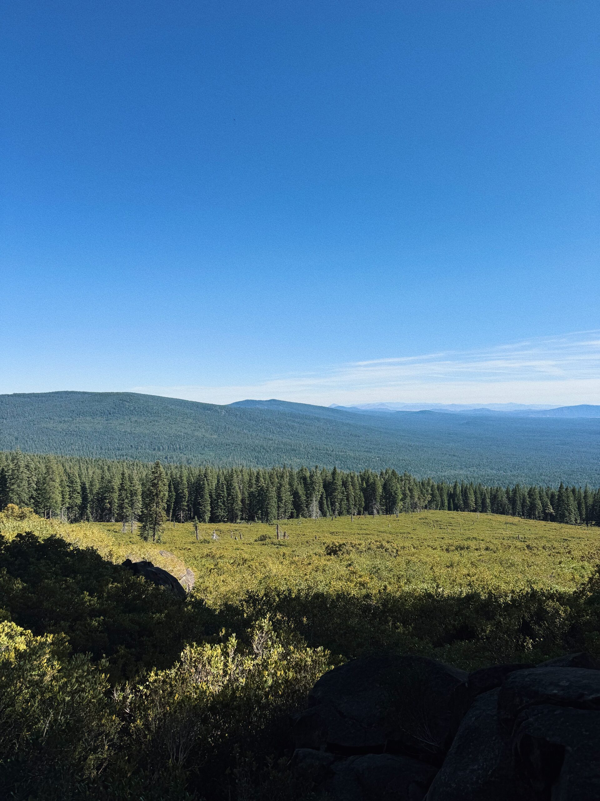
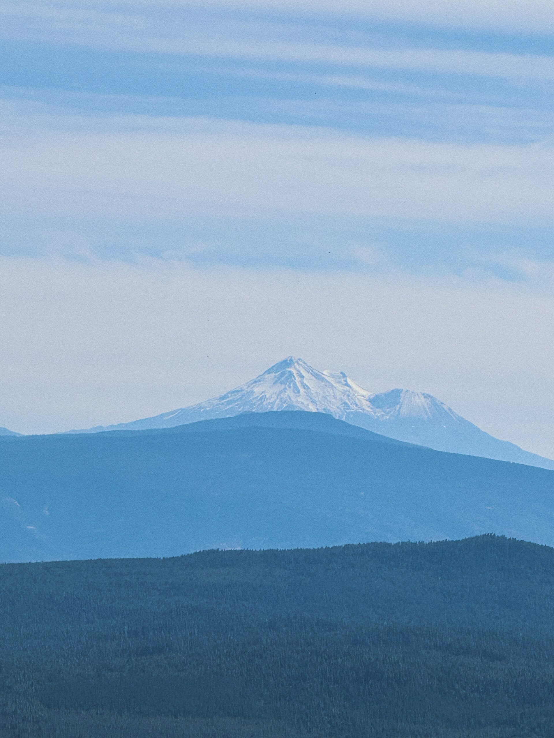 There is descending, descending, descending, away from all views of the mountain. Back in the woods once more, I catch sight of a fawn and a doe amidst the underbrush now beginning to glow in early evening light before hitting my turnoff to end the day.
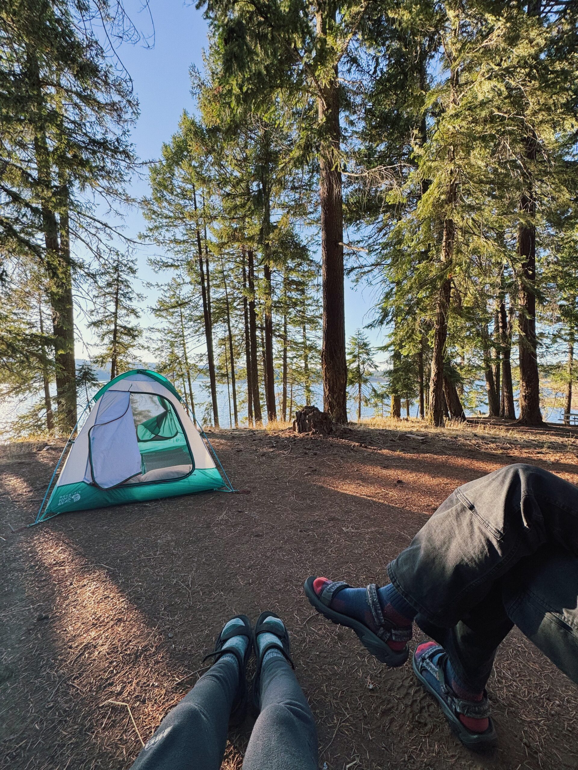
I leave the PCT and make my way down a dirt road that then crosses pavement, dropping into the campground on a narrow footpath. Is this place closed?? There are zero cars, no people, only silence beneath the blue sky overhead. I wander through the campsites looking for Kellen and finally find him at a spot overlooking the water, sitting in dappled sunlight reading in his chair. It’s like a mirage and it makes me giddy. Being solo outdoors is fun and all, but getting to end a day on trail with this and with him is even better. Time with my husband? Campsite perched above the lake? Tent already set up? Yes, yes, and yes.
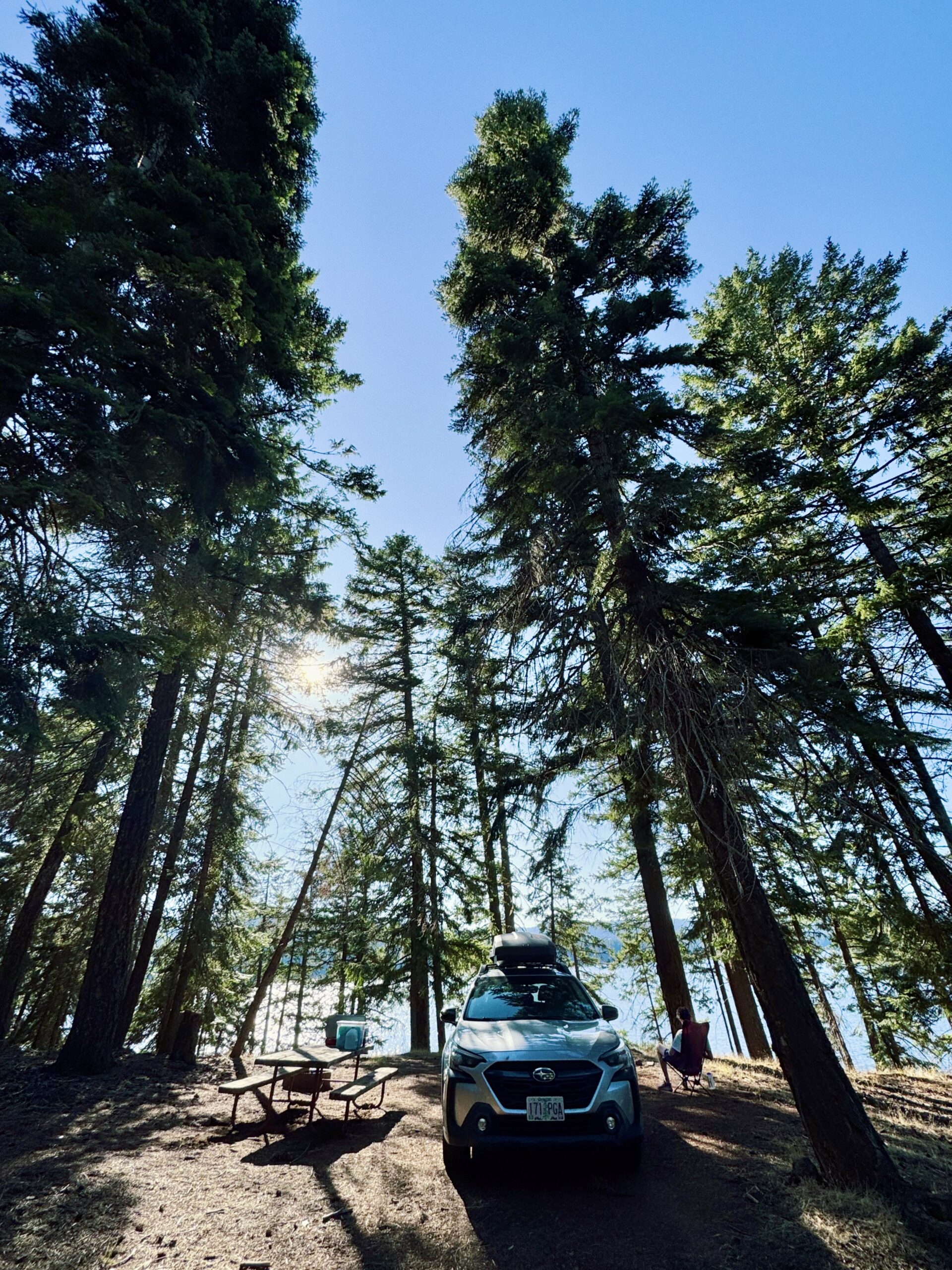
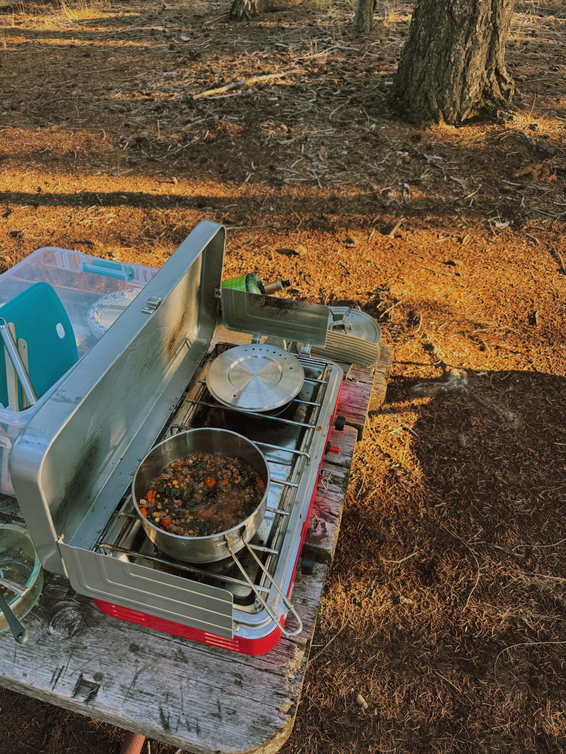 We spend the evening walking the shoreline of the water and checking out other campsites in the still completely empty campground. It feels a bit like the apocalypse has happened and we are the only two survivors, because why is this gorgeous place void of a single other person! Eventually, the heat of the day begins to slip away and we heat up our homemade soup (homemade soup! Not ramen! Not mac and cheese!) and then sit and watch the sun go down as we read.
DAY 2 (107 TOTAL)
SOBO Mile 903.9/Klum Landing Campground to Green Springs Summit/Highway 66, 14.8 Miles
1,708.3 Total PCT Miles
Owl hoots reverberate off the lake during the night, something I note from a state of being mostly asleep, and the morning brings the yipping, howling sounds of coyotes. Despite apparently being in the Pacific Northwest’s version of a Rainforest Cafe, I slept well. Turns out a real pillow is kind of a killer piece of gear??
Instead of immediately packing up and eating a dense, dry bar that takes a liter of water to wash down for breakfast as I hike, I continue to revel in all the luxuries car camping affords: hard boiled eggs and homemade banana bread, eaten on a paper plate at a picnic table. Really proper stuff. You know what else absolutely rules? Getting a ride the quarter of a mile back to the trail, because it’s all uphill. I may not be in the midst of a thru hike right now, but old habits die hard, and I try not to walk extra pointless miles (or fractions of miles) if I don’t have to – especially if it’s on a road.
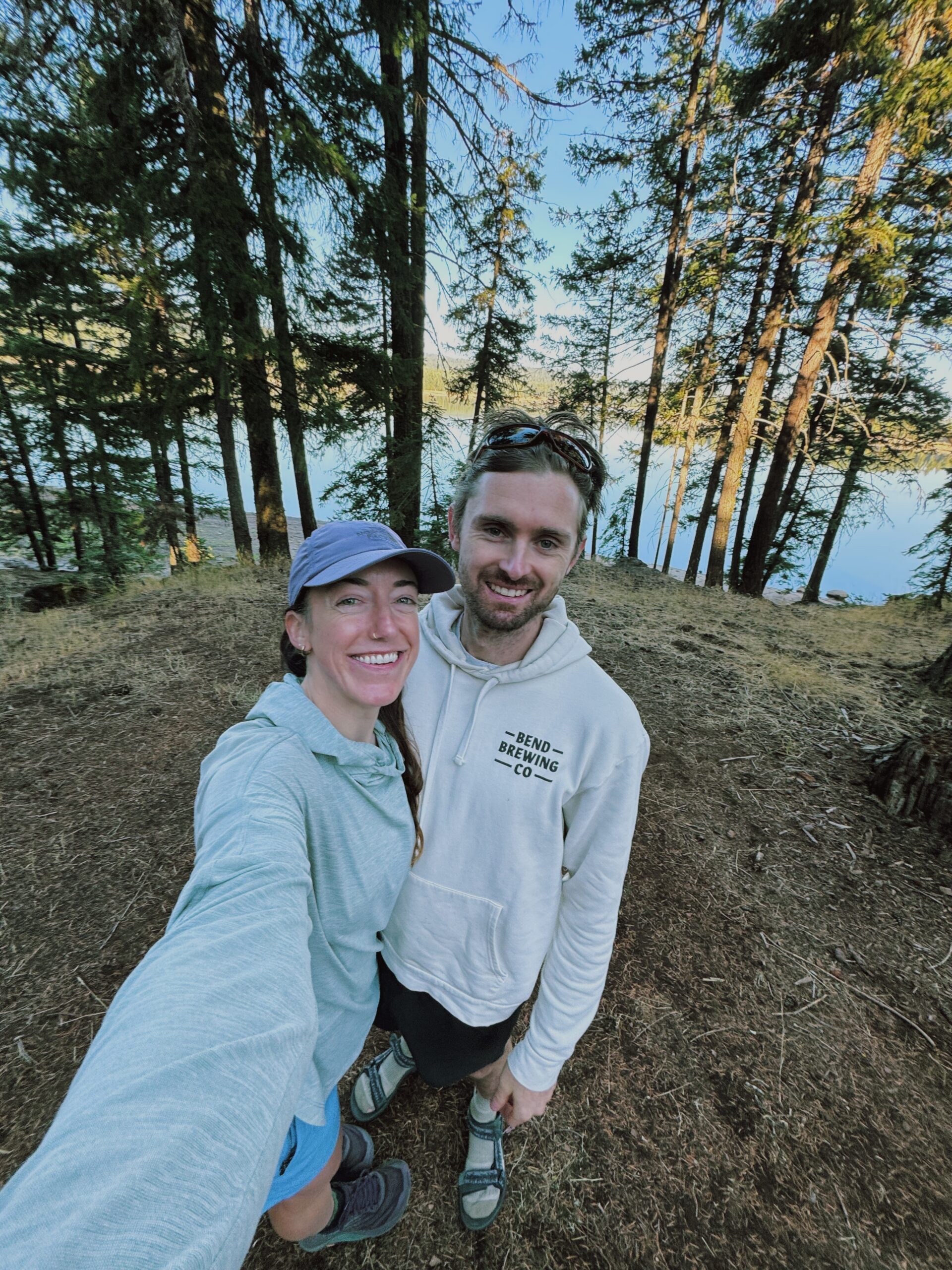
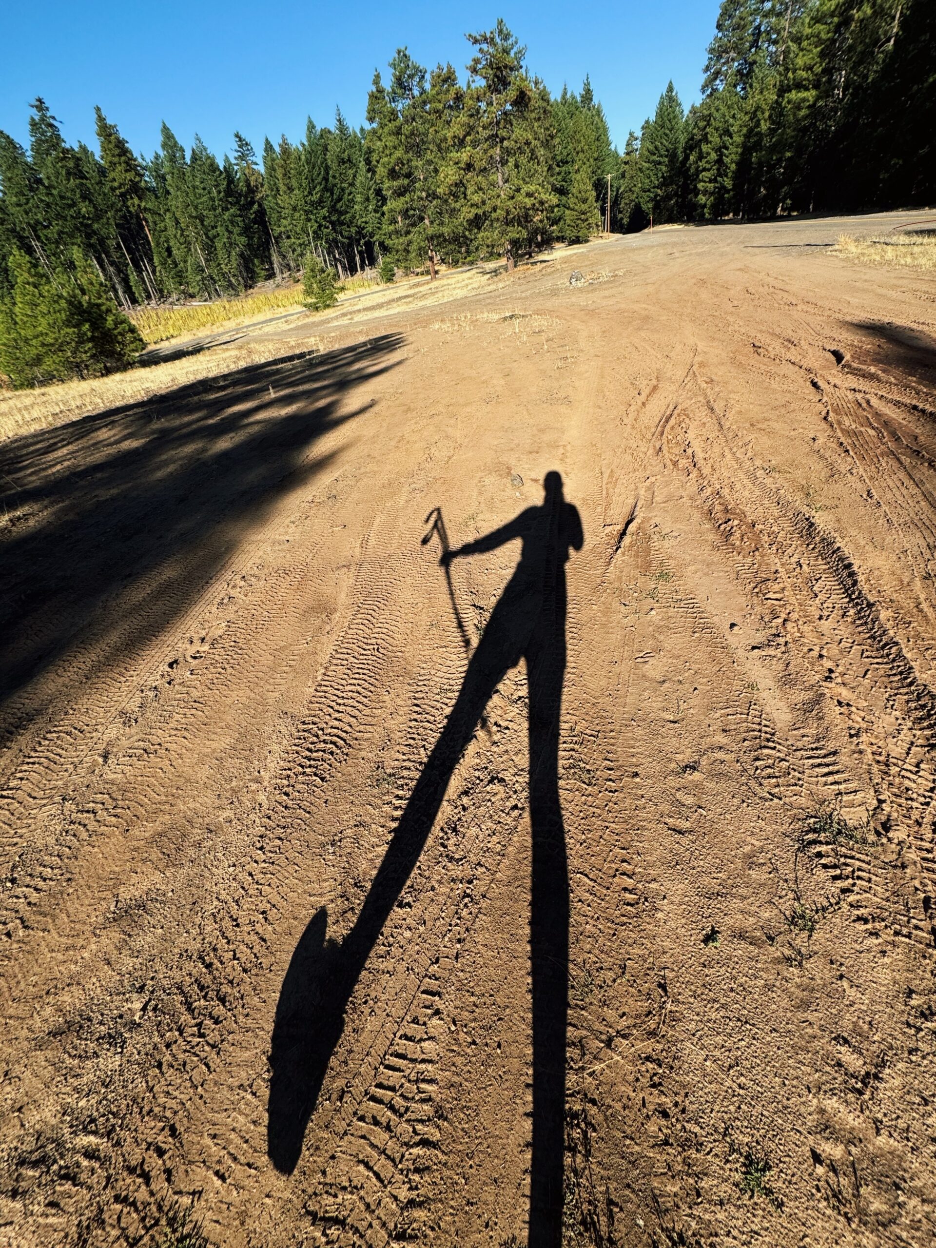 The morning is cool but bright, with heat forecast once more. My nose fills with the smell of warming pines as I leave Kellen behind at the dirt road and start moving up the trail. It crosses a handful of blowdowns as I begin the climb away from Howard Prairie Lake. It’s worrying, given how endless and draining they can be, but they pass quickly and I release the breath I’d been holding when they do, relaxing into the return of flowy trail.
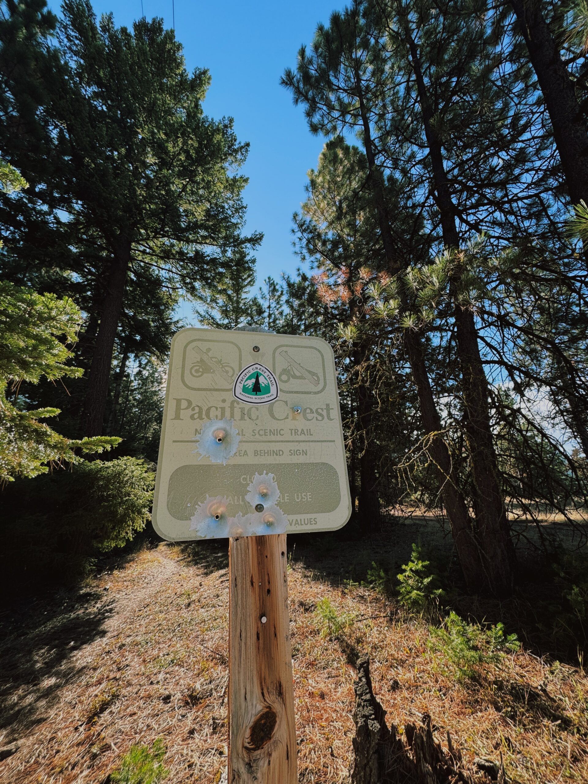
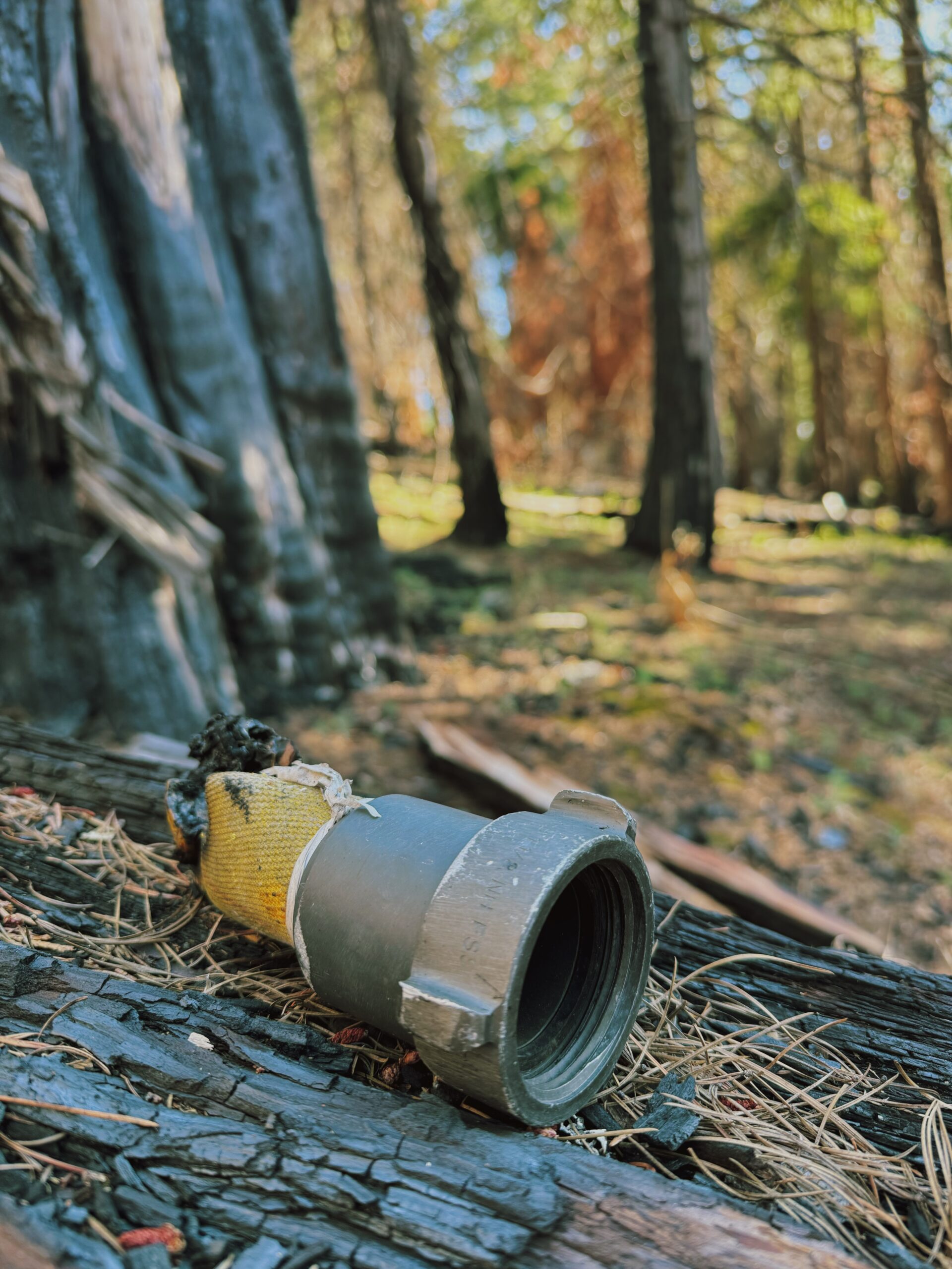
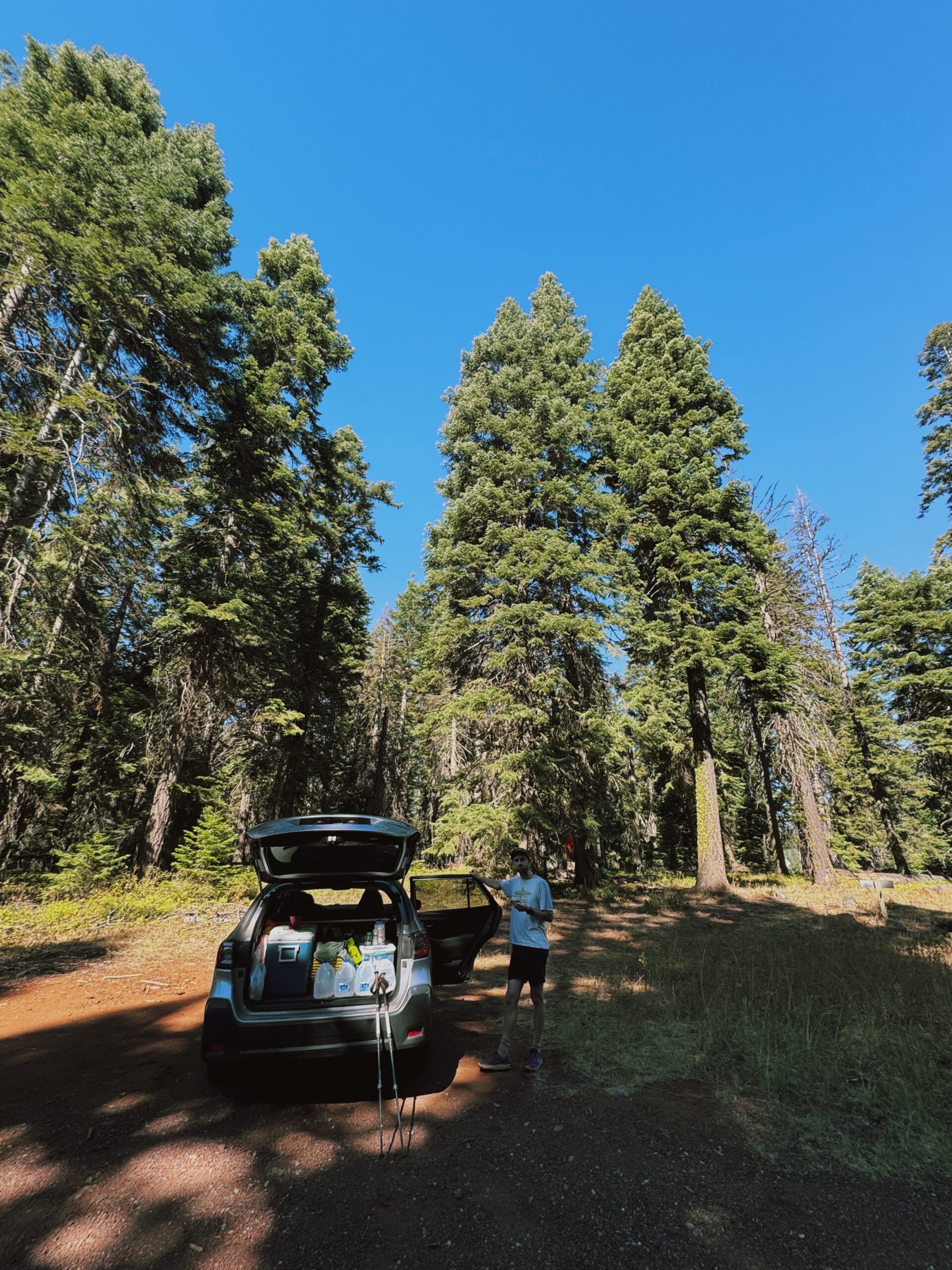 At 7.7 miles in for the day, I cross yet another of this section’s roads and break into a big grin upon seeing Kellen leaning up again his silver Subaru. My support car (and support man)! I stop for a 15 minute break: more water, sitting, yapping, and then I have to say goodbye to what could easily become a vortex of our own making. Really, it’s more of a “see you soon” though, because just seven miles lie between me and the end of the day.
There’s more climbing. Then descending. Still, everything is dry. There’s one water source at the outlet of Little Hyatt Lake but once again, I just don’t need to stop.
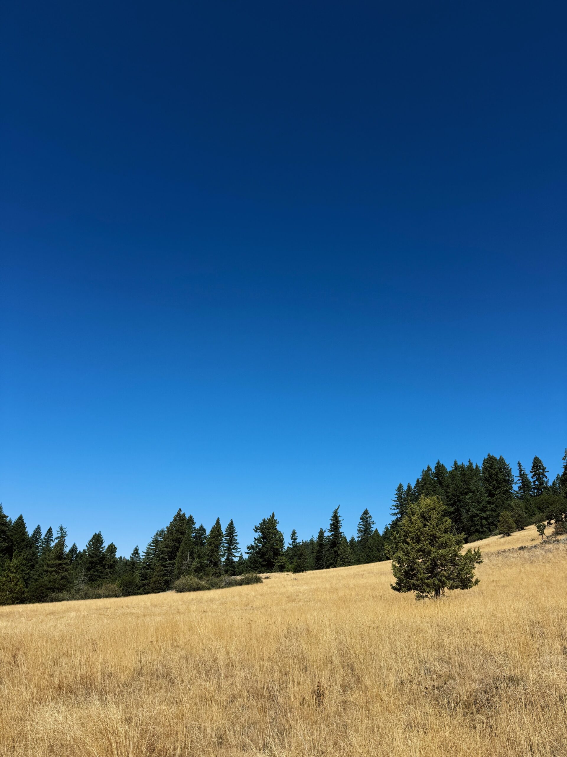
The day is spent mostly alone on trail, just me and the occasional chipmunk, squirrel, or deer, and a handful of elderly day hikers. Around me, the topography has begun to feel like NorCal with its open, golden grassland fields and variances of trees. I don’t notice the classic oaks yet, but there’s a definite shift. At least for now, the lava rock is gone. While this section has its own unique beauty, I’m finding that the real beauty is in what the landscape signals and demarcates. It’s a transition to NorCal, the landscape blurring from Oregon’s volcanos, forests, and general “flatness” to preview what lies ahead across the state line; a milestone of all the miles walked and a marker for all the miles still to be walked.
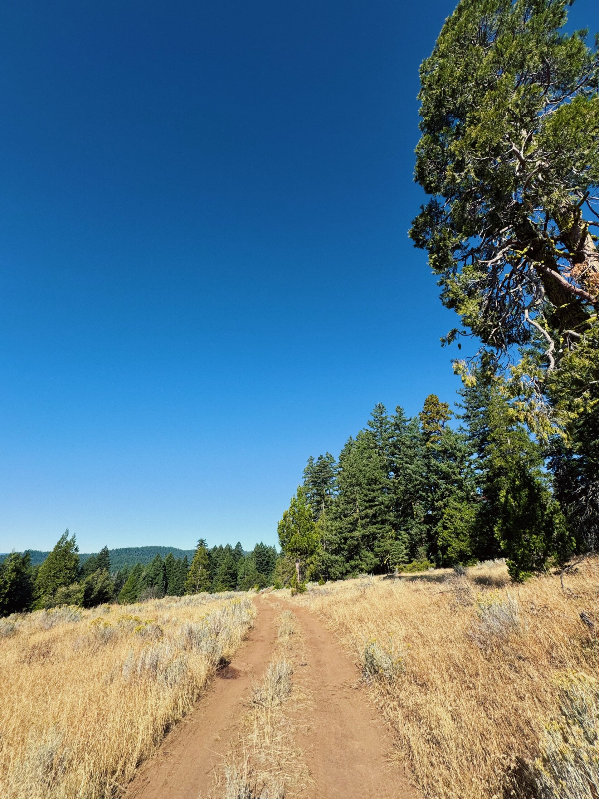
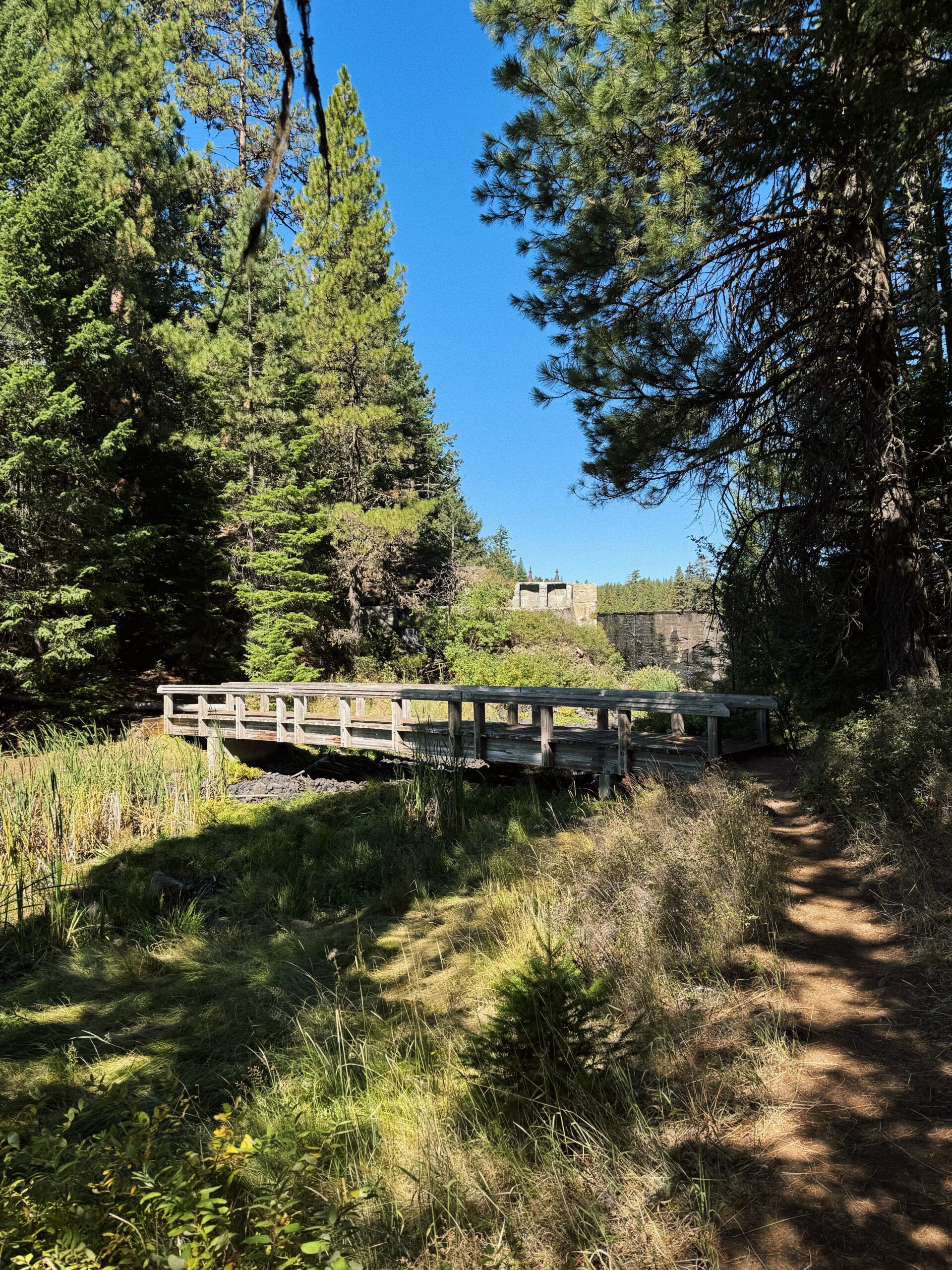
 I spend most of the last few miles running, my speed steady except for when I notice a massive wasp’s nest just off trail and start churning out the fastest pace of the day. The momentum carries me. I look back once or twice, half expecting to see a cartoon-like cloud of stingers gaining on me. Of course, I don’t. Descending down the last bit of trail to the road, I catch sight of that familiar silver Subaru and my husband standing next to it, unable to keep the big grin off my face once again. It’s 1:00 pm. My miles are done and there’s a whole day ahead to be had.
We drive around to look at other views of Howard Prairie Lake before making our way back to Klum Landing Campground, where we’ll stay for our second night. We eat, read, nap, wander the shoreline, and read some more. Dinner sees us tucked into the car with our food, as the yellow jackets have materialized to swarm our homemade potato salad and sausage. (Can’t win ‘em all).
DAY 3 (108 TOTAL)
Green Springs Summit/Highway 66 to Ashland (Old Highway 99, SOBO Mile 935.6), 16.9 Miles
1,725.2 Total PCT Miles
Yesterday morning repeats again today, only earlier: a solid night of sleep, real breakfast, ride to the trailhead from Kellen, a climb to start the day. The mind is a fickle thing, as the climb feels endless this morning and my brain is momentarily shocked that I just have to keep going to do all these miles. Then, the second I begin a descent, it’s as if my mind goes “oh…ok yeah, I was just being dramatic I’m actually totally fine.”
I spend more time in the woods today, but the few times I pop out from them, I’m rewarded with views of Shasta looking closer and more epic than two days ago. It’s still dry, and the landscape continues to morph and change with each southbound mile. While the fifty shades of green have not dissapeared, it’s the golds and yellows contrasting against the clear blue sky that are beginning to take center stage.
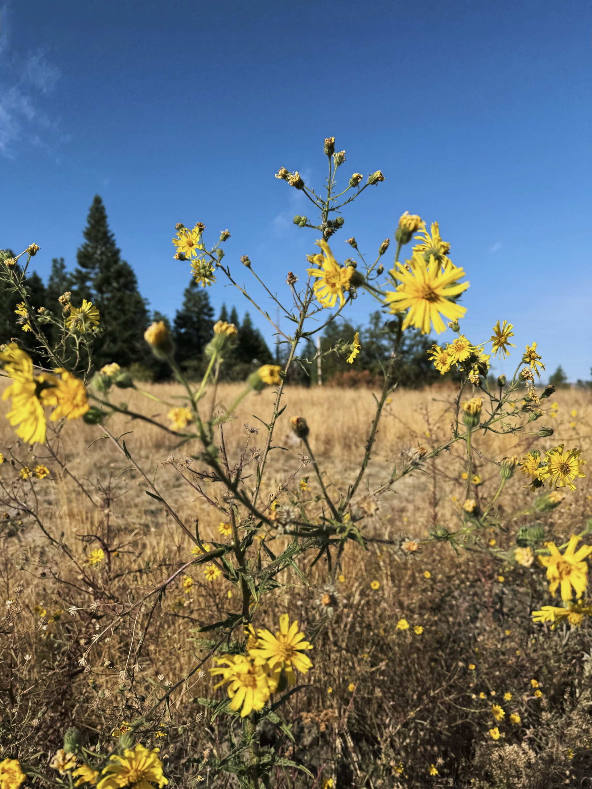
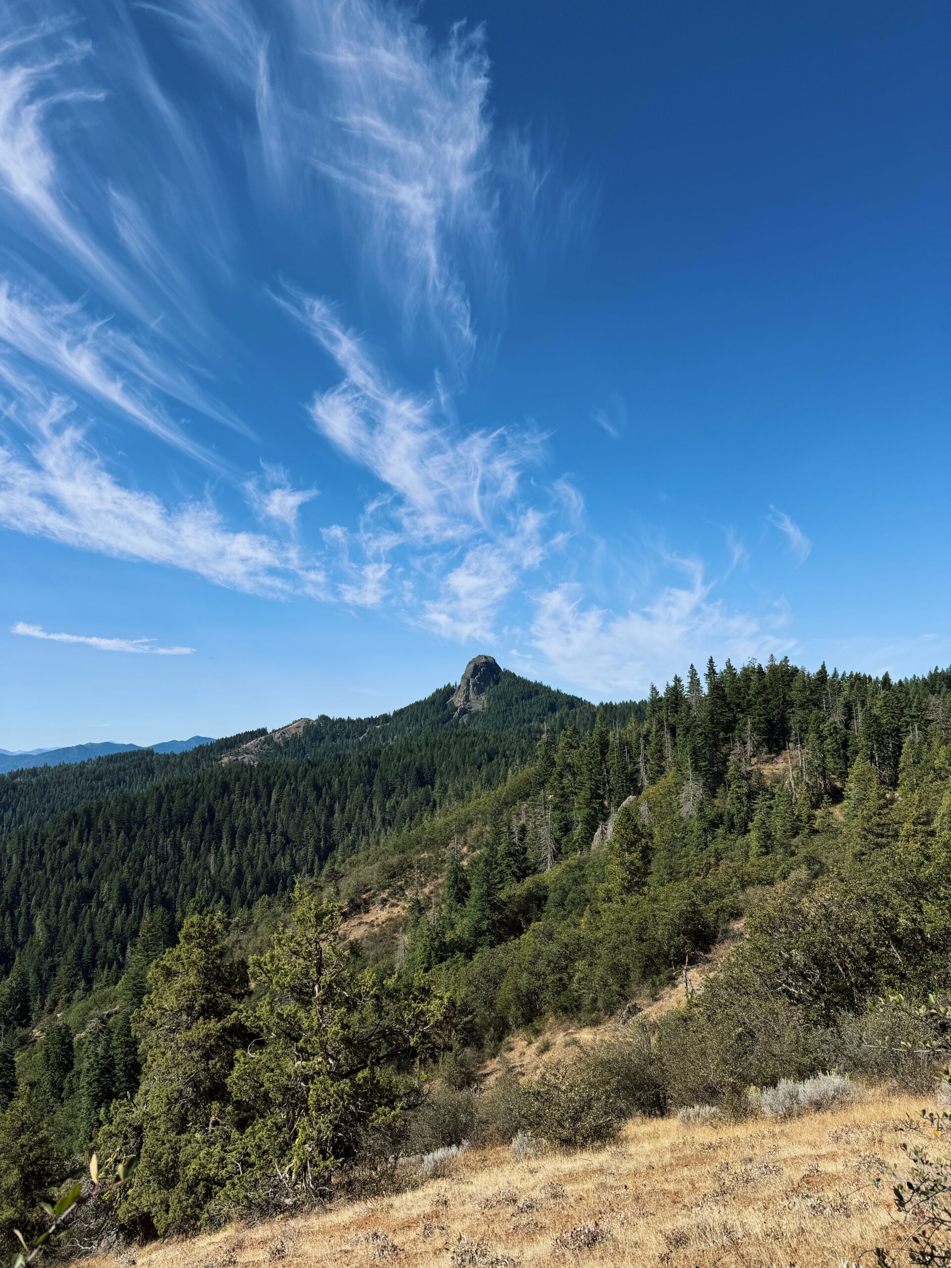
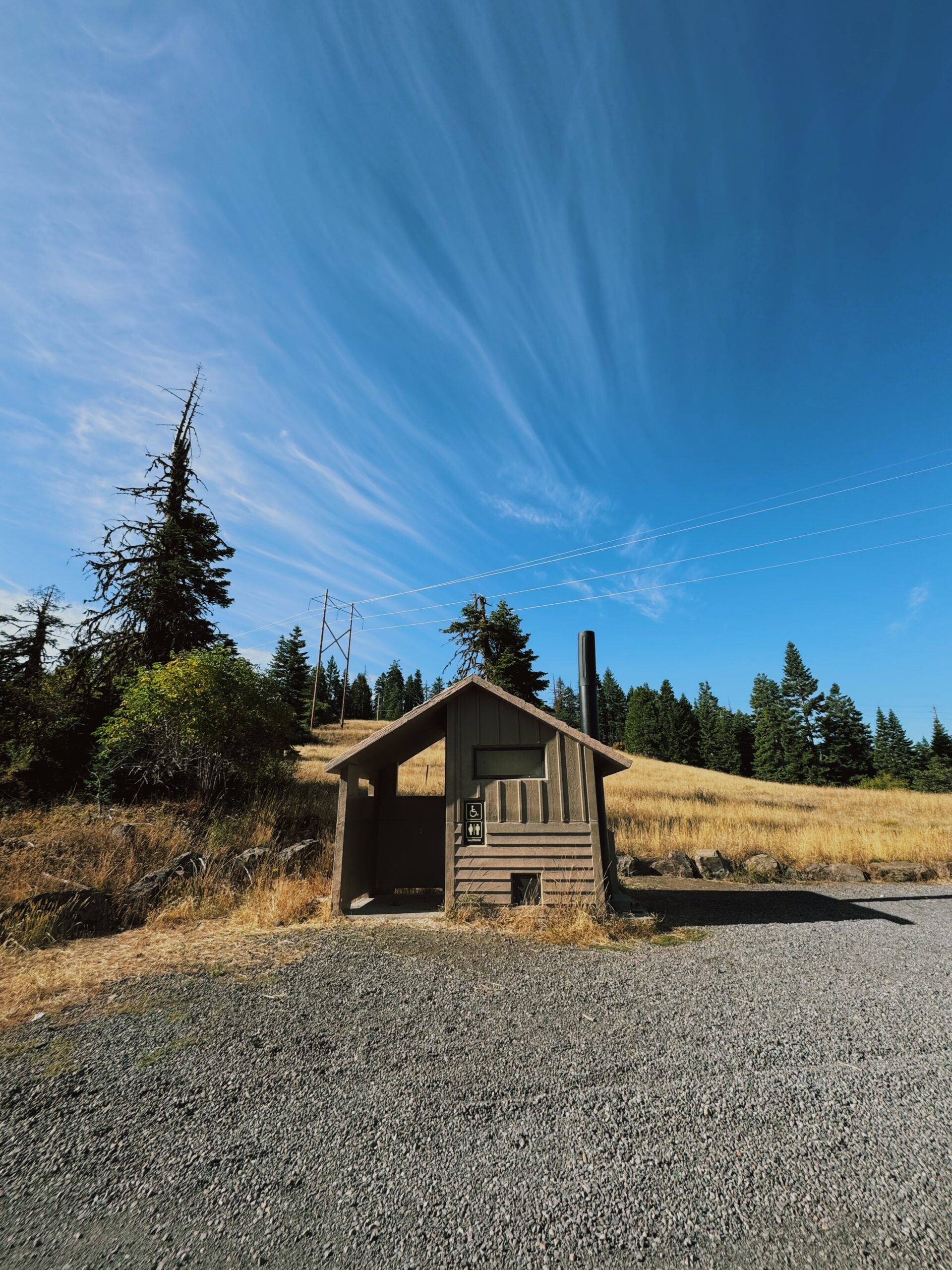 ^^ The trail provides
 The afternoon brings me through a section where there’s been various bear sightings recently, and I have to say, the thought of coming across a black bear doesn’t scare me. After the bear incident of 2021, where I ran onto a rock to help a man being circled by a bear, the potential of seeing a chunky bear eating berries along the trail minding its business just doesn’t rattle me like it might have before. Camping alone and having a bear problem would be a different feeling, but I digress.
So there I am, running along my narrow ribbon of dirt, when I hear noise up and to the left on a low hillside just above the trail. I immediately slow to a walk. Through the brush, my eyes pick up the shape of the back of the biggest black bear I’ve ever seen in my life. It seems consumed in whatever it’s foraging for up there, though, so I decide to just talk gently out loud and keep myself moving.
“Oh, hi bear! I don’t want to bother you, just walking by.”
My heart isn’t quite racing but it’s close, less because it’s a bear and more because of how absurdly huge it is. Its back, too, is oddly flat and straight the more I look. It’s as I’m pondering this shape that I see it, the flick of something from behind the bear.
A tail. It’s a bear with a long tail. No. It’s not a bear. It’s a cow. Or a bull. I still can’t see the head. My breathing slows and I shake my head, letting out a little laugh as I continue on. Alrighty then, not a bear.
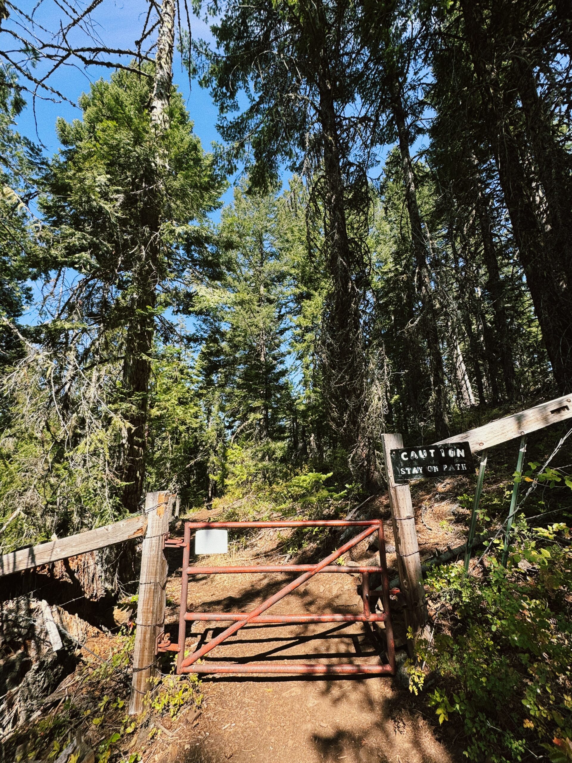 Later, as I’m winding down and across another grassy hillside, I notice trail magic in a small patch of trees. What a relief it must be to the parched thru folks on this dry, exposed section. As it turns out, I’m finding you need a lot less magic from others when you just…bring the magic with you (Kellen and his car full of water and snacks.)
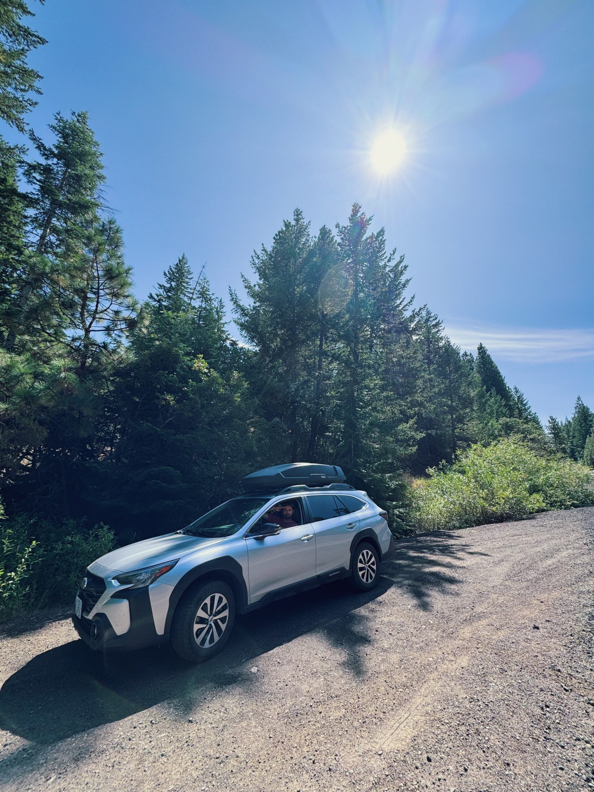
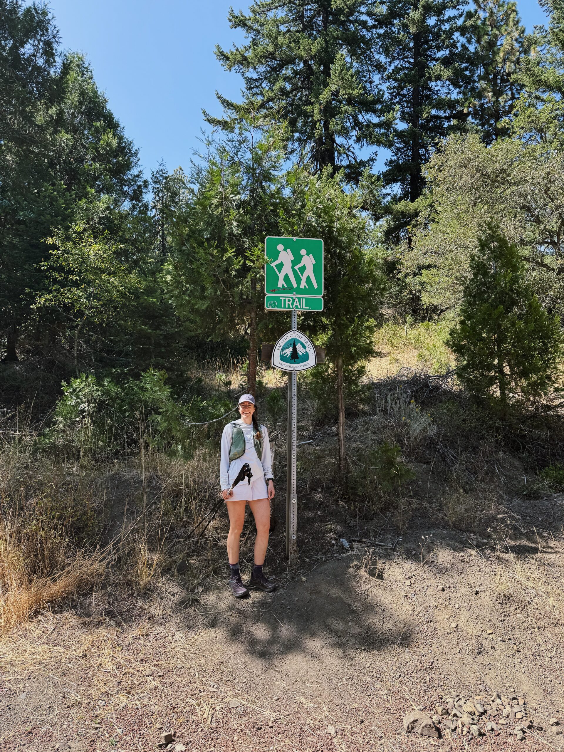 The trail spits me out onto a paved road, and I follow it down a half mile to where the PCT disappears once more into the woods. This is where I end (for now, duh). After taking photos and chatting with a trail angel couple who is setting out for a day hike, we head towards Ashland. Kellen has spent the day wandering and exploring, so I get the mini-tour from him. We eat gigantic burritos on a park bench while people watching and all is right in the world.
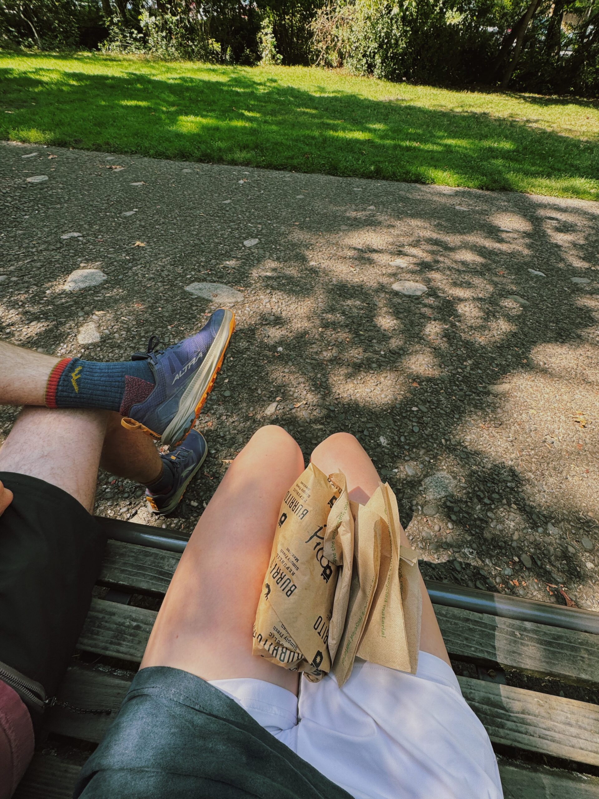
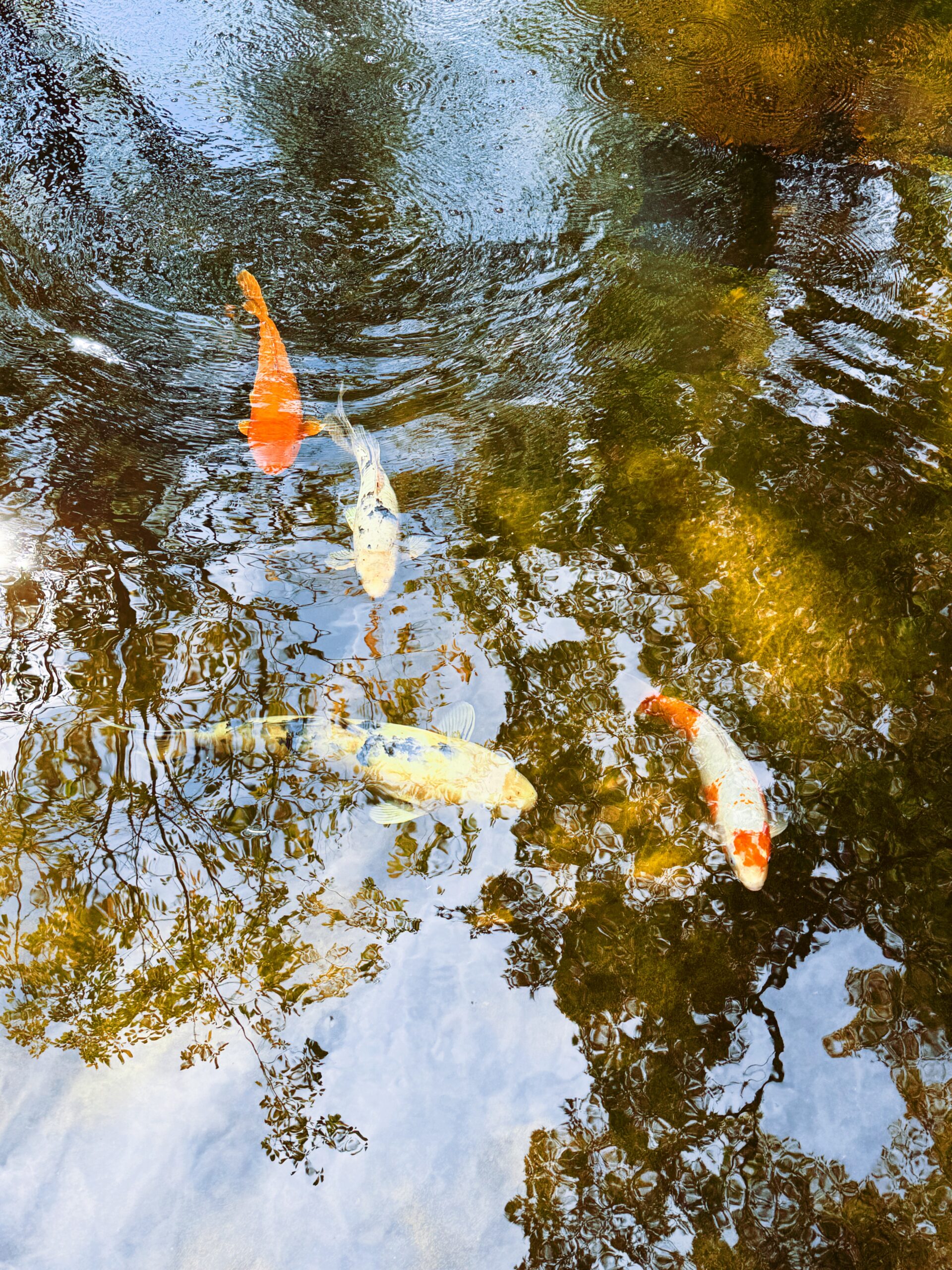
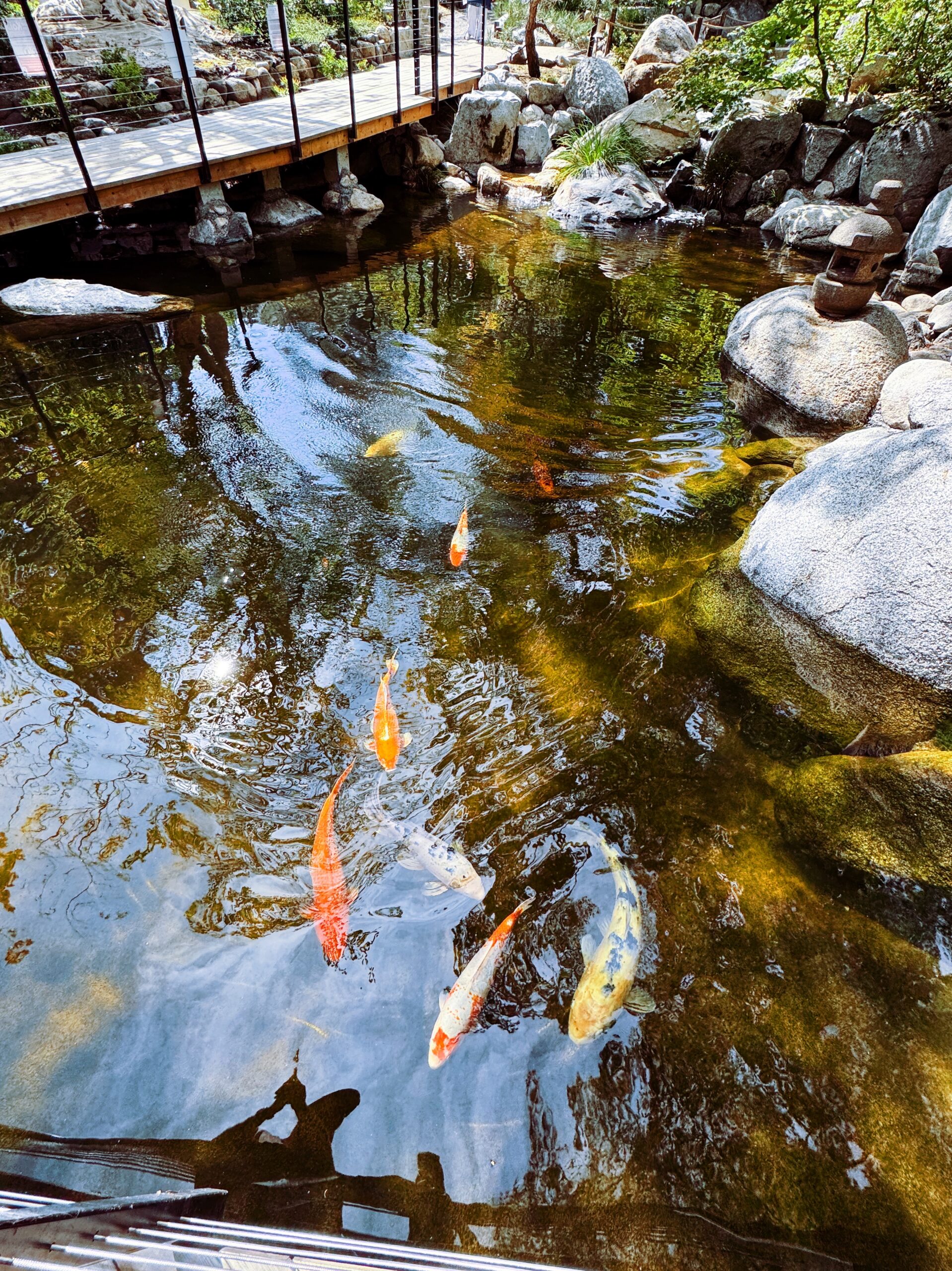 Post-burrito, we meander slowly through the Japanese garden taking in the silence and stillness. I’m particularly mesmerized by the koi pond and the lazy wake the fish leave as they wind smoothly through the water. (There’s also more water in this small scale Japanese garden than there’s been on trail over the entire past three days).
 Is Oregon “done-done?” No, not technically. There’s about 26 miles from Ashland to the border with California. That said, the border between the states lies on trail and is a much tougher pick up/drop off site…so I’ll save it for whenever I begin or end that NorCal section.
For now, we drive home awash in the golden light of evening and the warm glow that accompanies an adventure gone well. Oregon! I’ve walked all of Oregon, essentially, each landmark sign on our journey back home a reminder of how far I’ve gone. There’s the turn for Crater Lake. I stare out the window as another exit goes by. Willamette Pass is that way. We could continue north through Bend (that mega day hike was one for the books) and eventually pass by Mt. Hood, and Timberline; cut over to Cascade Locks and the state’s border with Washington. All the solo miles, and the friends that joined for weekends and big days, and the time with my husband driving to and from trailheads across the entire state flood through my mind. Oregon. Oh how glorious it’s been.