Day 7 (78 Total)
Forest Service Road 23 to Riley Creek at Mile 2241.8 NOBO, 10.2 miles
1,150.1 Total PCT Miles
No alarm, no droning bugs, no protein bar breakfast. Sometimes town days are just as much about what’s not happening as they are what is. It’s amazing what the ability to use the bathroom without getting mosquito bites all over your body can do for your morale.
Kellen and I lounge around until our 11 am checkout. We’ve mapped out the miles for today, and can easily hit ten with an afternoon start on trail. It’s only right, then, that we utilize every second of air conditioning, clean running water, and the indoors. Once 11 hits we walk the mile back to town, settling into the shaded grassy area outside the general store where Kellen bought the tiniest sunglasses possible. We’re awaiting our shuttle, and when noon comes we load up into a different truck this time driven by a different older retired man. Kellen and I lift our packs into the truck bed then climb into the backseat with a quiet dog who just barely warms up to us by the time the drive is over and we’re back at Forest Service Road 23. Onward.
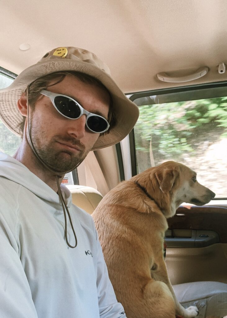
Town was a reset. It’s wild how fast your mind can convince you that what you just experienced wasn’t actually bad at all when there is no mania, only rest. Even so, we’re both feeling a bit apprehensive about the miles ahead. Will the bugs be bad? Will we end up sacrificing our blood at the mosquito altars once more, sprinting to White Pass without a minute to breathe and take in the beauty of this section? It’s with these thoughts rolling through our minds that we leave the forest service road behind and start walking north again.
It’s another hot day and the trail trends rather steeply upward after a bit of meandering through the forest once leaving the road. We see a handful of hikers heading in towards town, and while they do mention the flies that we’ll run into in the next few miles, it sounds as though the mosquitos will be more manageable. This is encouraging, although not fully reassuring given the wide range of hiker definitions for “manageable.” But still.
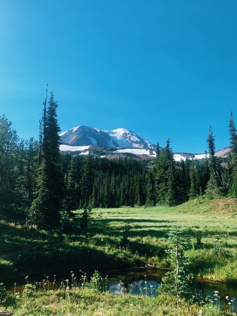
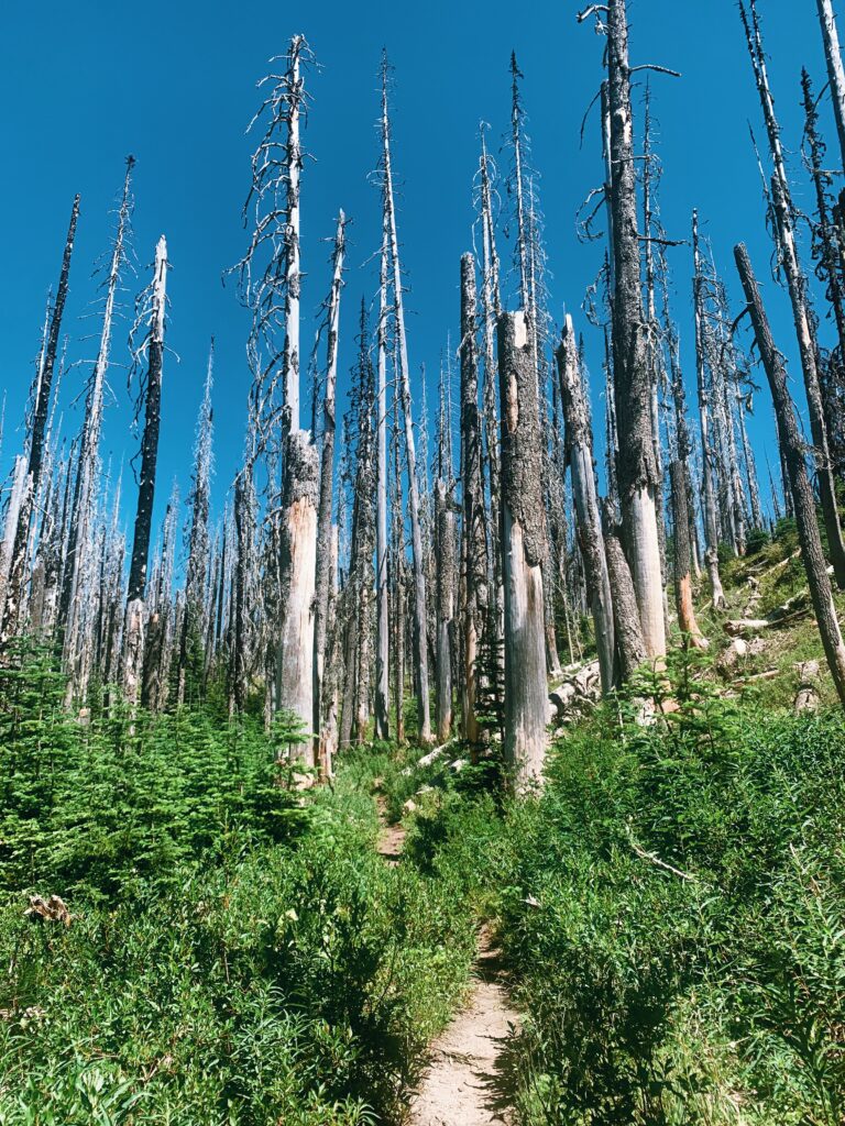
After a couple of miles, we pop out from the forest into a burn area. It’s hotter out here in the sun, exposed as we are, but there’s a cool breeze which seems to sweep the lingering mosquitos and handful of flies away. We are surrounded by mountain views yet again – Adams, Hood, Rainier, and St. Helens all visible depending on which way you choose to face.
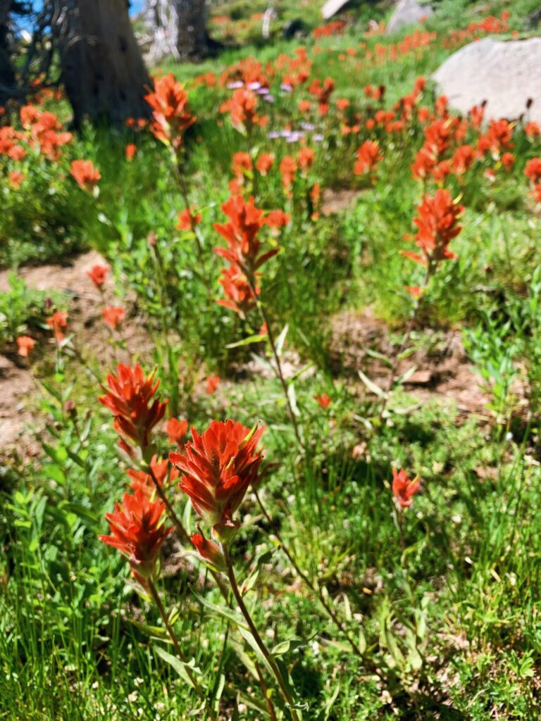
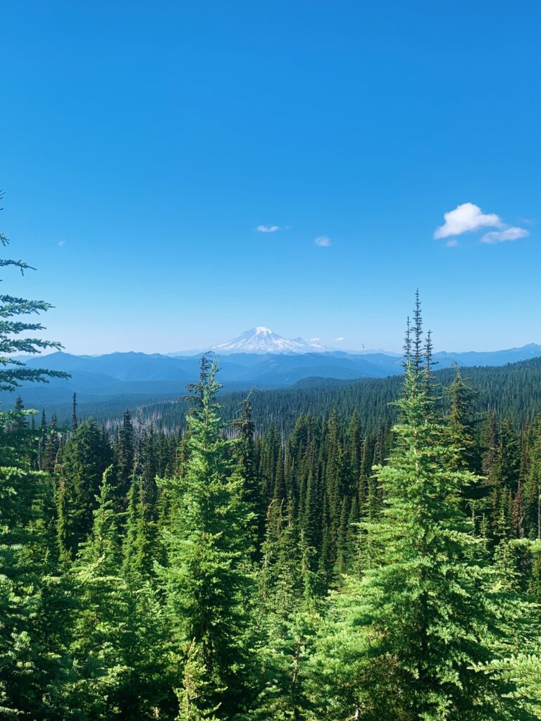 Wildflowers begin to show up as we continue north, thick fields of orange and magenta Indian paintbrush, small purple and white ground flowers, and in the distance, a sea of lupine. Our pace slows considerably with each twist of the trail as we stop for photos or to point out new flowers to each other or to simply stand and exhale with quiet “wows”. This is the Washington we’re hiking for! Sweet mountains and alpine flowers. I am giddy. We’re at last out of the green tunnels, at least for now, and the feeling is glorious.
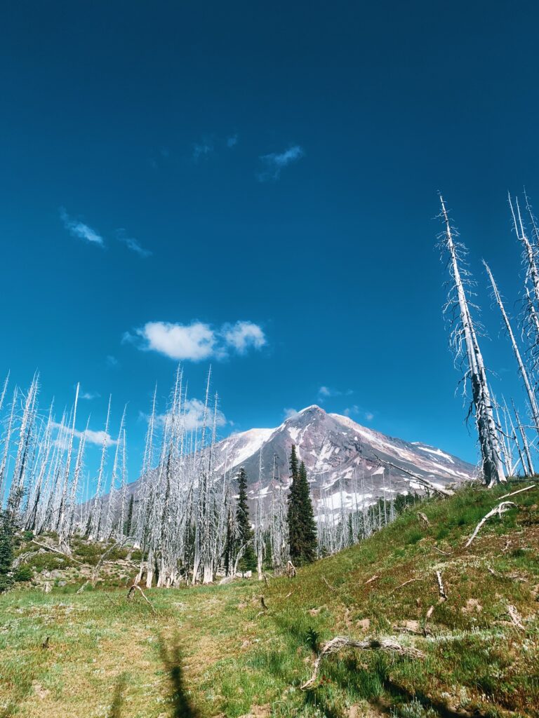
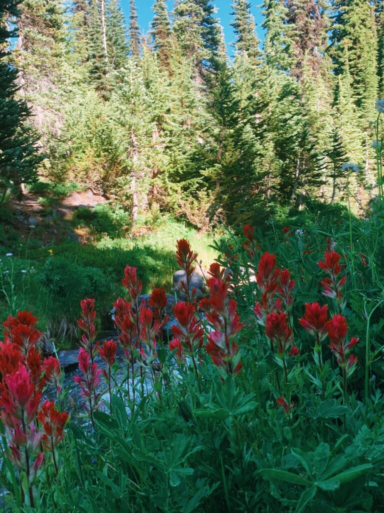
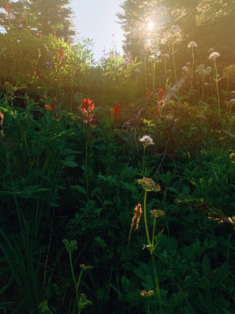
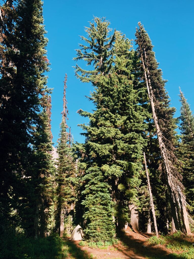
We end our day by descending off the PCT to our left, following the steep, crumbly side trail down to where we’ll camp near a dreamy creek – stepped layers of water cascading down the hillside, wildflowers lining the water’s edge, and Mt. Adams looming above. I love backpacking, I love the mountains, I love being here, I love Washington. Today has been beautiful. Dusk soon begins to fall which means the mosquitos resurface, and we head into our tent for the night.
Day 8 (79 Total)
Riley Creek at Mile 2241.8 NOBO to 2256.4, 14.6 miles
1,164.7 Total PCT Miles
The soft buzzing of my phone’s alarm wakes us up, my hands patting around in the tent to find it before I’m able to tap it off. With the alarm over, the gentle murmuring of the stream fills the air. Despite feeling sleepy, despite how hard it can be to slide out of my warm sleeping bag, despite how similar mornings on trail can feel, I’m excited to be back out here after time in town. Backpacking can be full of mundane moments and yet knowing I get to be on trail seeing new miles every day fills me with a sense of wonder. The sleepiness and the cold will shake off as they always do (well, almost always I guess) once I begin to walk.
This stretch of trail is once again the Washington of our dreams. While previous miles have been dry and waterless, this section is full of picturesque streams and big views of Mt. Adams. We walk through green meadows, cross rocky glacial streams on small logs and a prayer, and pass by an endless array of flowers. It’s good hiking – so good – the trail flowy and interesting.
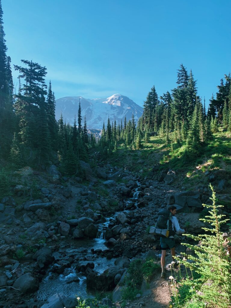
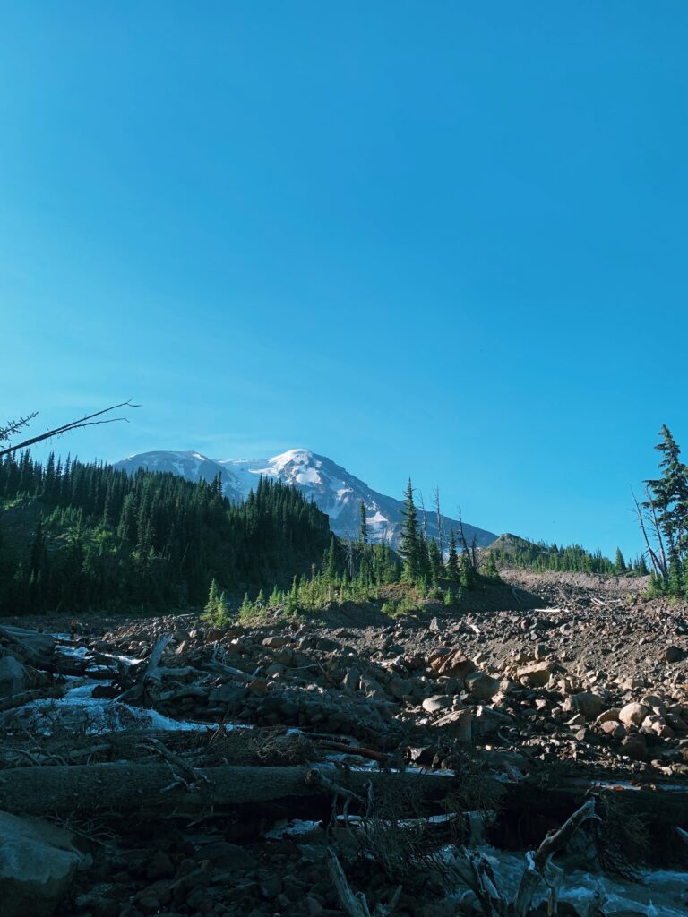
After five miles, we stop at Killen Creek to filter a bottle of water and take in the flower filled meadow. We can’t stop thinking of how this section looks like it was designed by Disney Imagineers or generated by AI with the prompt “idyllic meadow on a clear day in the shadow of Mt. Adams with flowers, greenery, and a gentle stream that then tumbles over the rocky edge; fairies optional.” It’s just so perfect. Practically speaking, too, it’s perfect. Frequent water sources = less water carried = lighter packs = easier hiking. Cold, crisp, clear alpine water is hard to beat.

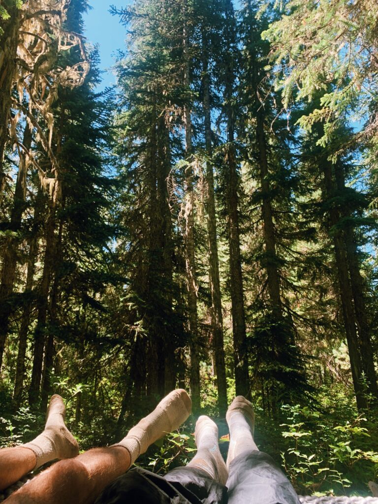
Lunch today is long and drawn out, our feet thrown up on a log after flopping down our foamies at a flat tent site, listening to the sound of the creek. Yet again, we decide to cook in the middle of the day as a precautionary measure for tonight, so we eat hot food and filter cold water, lingering in the coolness of the trees.
At this point, our daily miles are planned not just around what we want to hike each day but also in large part around where we surmise we are less likely to be assassinated by mosquitoes at. With that in mind, we’ll be stopping for the day after 15 miles. This feels good for our feet, sure, but the campsites after 15 all put us at some form of stagnant water: pond, seasonal stream, small lake. Hard pass, but thanks.
That evening we set up our tent tucked up partially into the trees. We’re joined later by a group of about 7 men, and quite frankly the one defining interaction is when the man whose tent is closest to ours rips the loudest fart of all time. I am choking back a laugh behind my hand, tears forming as Kellen and I make wide-eyed eye contact.
“Yep, sorry about that everyone,” the man says offhandedly, sounding unbothered.
“Dude…” someone from his group trails off from a tent further across the site.
“Well, who among us hasn’t done that while out backpacking,” I call back, Kellen and I now officially in fits.
We go to bed early so we can start early tomorrow, soothing our nerves about upcoming mosquitos with meaningless reassurances like “Maybe we’ll pass all the stagnant ponds before the mosquitos wake up,” and “It’s probably not too bad compared to the bugs we’ve already faced.”
Ha.
Day 9 (80 Total)
Mile 2256.4 NOBO to Sheep Lake, 15.7 miles
1,180.4 Total PCT Miles
We’re awoken by the tolling of the bells, signaling not death but the seven separate alarms that every single member of the bro pack seems to have set the night before. Ah, the great outdoors! We pack up quickly and soon are back on the trail, tightening backpack straps and zipping hip belt pockets, off walking with a quick glance down at the watch to note that it’s just a few minutes past 6:00 am.
I’m not even sure when, exactly, the mosquitos begin to consume me but they do, and it’s early on. Quickly, the first eleven miles of the day are turned into something unremarkable. We pass those small stagnant ponds, cross through deep forest still dark in the early dawn light, and don’t stop for anything.
Well, seven miles in we stop for water but it’s more of a pause, a fast break to franticly grab bottles from mesh side pockets, scoop water from the slow hillside stream, and filter a liter before setting off again in rain coats and bug nets and a cloud of DEET. We continue at our charging pace, only now we are buoyed by the line of hope cast our way by the SOBO hiker we chatted with at the water source.
“In four miles, the mosquitoes completely stop. You’re almost there.”
We must have looked skeptical, given how wildly inaccurate trail information can occasionally be, because he continued.
“Seriously, they’ll be gone. Four miles.”
And so the number four cements itself in my mind as we hurtle onward. Four miles four miles four miles. Four miles is nothing! Four miles could be just one hour! I can hike four miles! Once again, my world has narrowed to the scope of my hazy mesh bug net. I’ve taken exactly zero pictures all day and eaten approximately half a bar, holding my hand up inside my bug net in an attempt to remain mostly unbitten on my face and hands. Welcome to type two fun, everybody. Why do I backpack, again?
But then…then we are at four miles. A few minutes after we hit four miles from that earlier water source, Kellen and I tentatively flip our bug nets off. So far so good. We walk for a little bit longer before finally deeming ourselves safe, flopping down unceremoniously onto our foamies for our first break of the day.
It’s not even 10:00 am and we’re already done with 11.3 miles.
By this point, I am tired, hungry, and – quite frankly – in a bad mood. The bugs have been annoying, I don’t feel well, and half a bar is not enough food to hike 11 miles on. And yet, sitting down, inhaling food, and staring blankly into the woods without lifting a single finger to swat at a mosquito is slowly reviving me. Kellen and I are planning to stick to our mileage once again, so only five miles lay between us and an afternoon lake day. Just as “four miles” became a beacon hope, so does “lake day”. The word on the trail is that Sheep Lake has everything you need (good swimming, flat tent spots, water), and nothing you don’t (i.e. bugs). Today, we hike fast and plan to chill hard.
We pass a couple of weekend backpackers on our climb out, but otherwise the trail is quiet. Green hillsides, mountains in the distance, some wildflowers, clear blue sky stretching out to the horizon, the thick damp forest housing mosquito hell fading into the distance as we gain elevation.
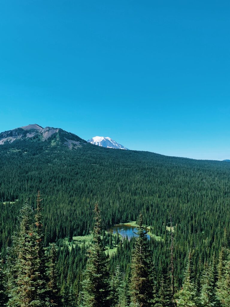
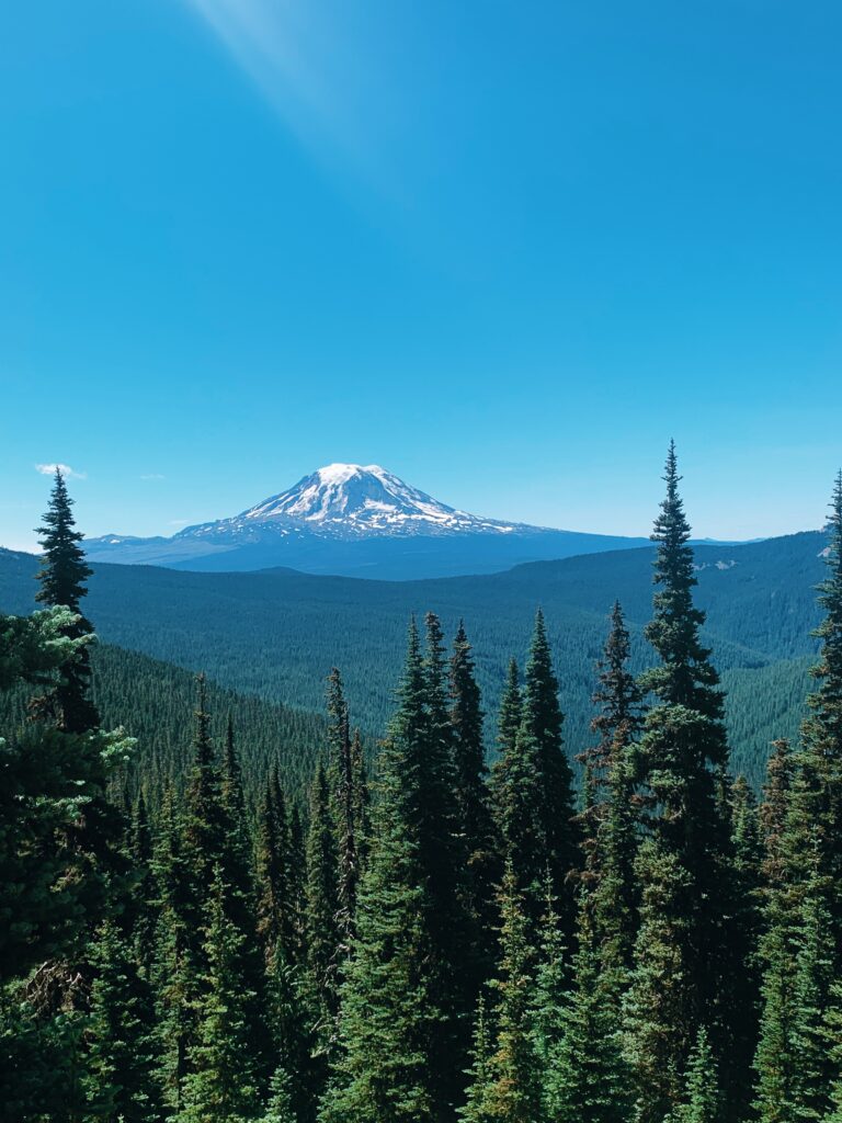
Once at Sheep Lake, the afternoon turns blissful. The air is warm and the lake is slightly sun-baked, the water temperate and the sandy lake bottom soft beneath my feet. As it always seems to be on trail, swimming is revitalizing.
Oh yeah, this is why I backpack. This is good. No, this is great.
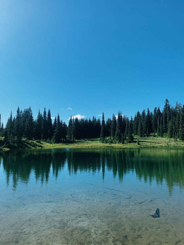
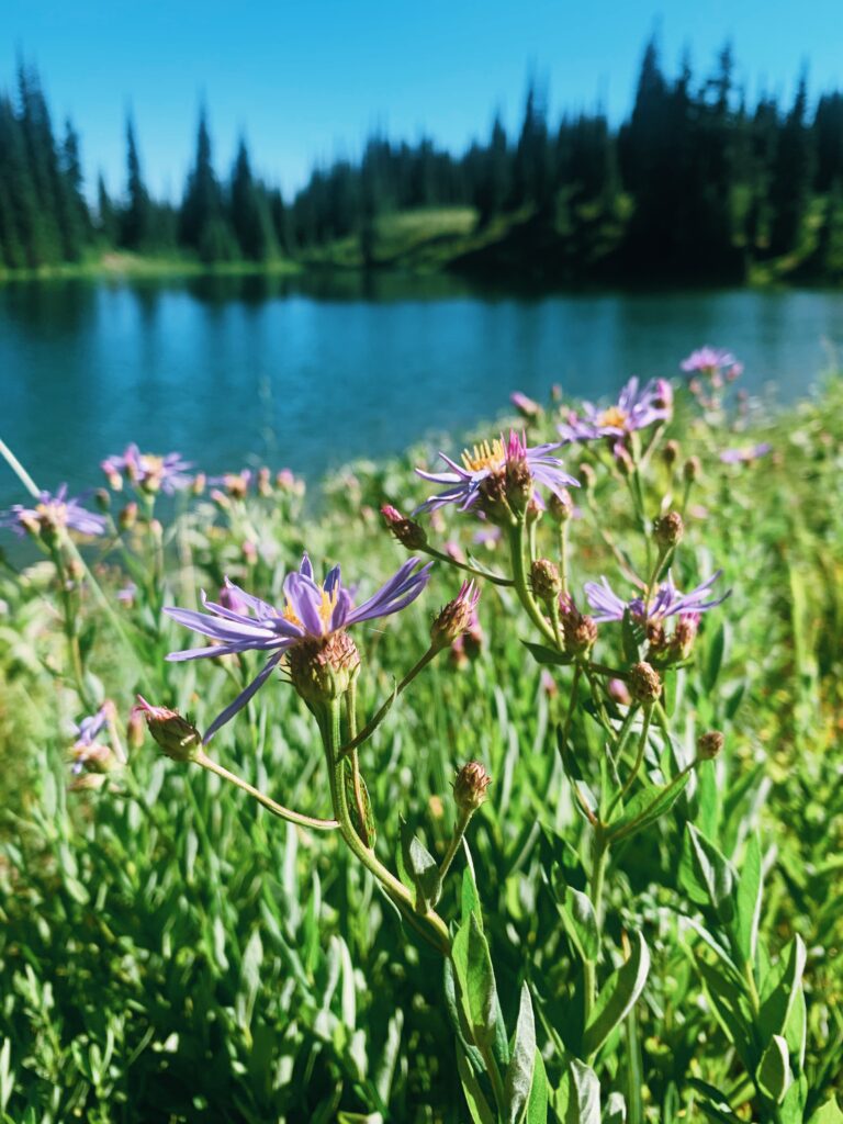
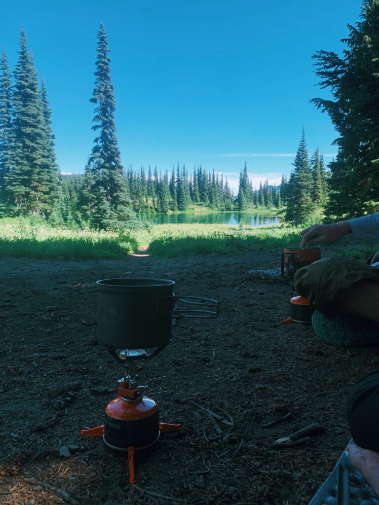
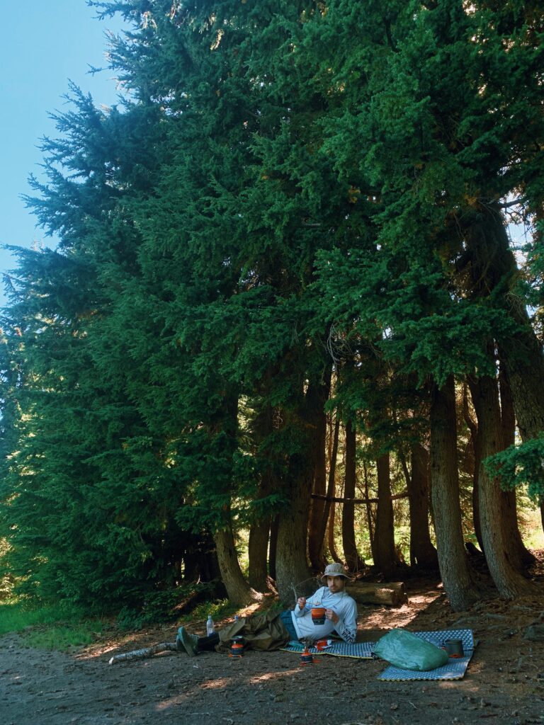
The rest of the afternoon is a gentle flow of activity (napping and snacking, cooking an early dinner with lake views) that melts into an evening where we stroll around the lake, pointing out salamanders and frogs in the water. It’s literally insane how fast my mind mellows out, as if the first 11 miles of the day were an entirely different day, different lifetime, a different, rage-filled Kathryn.
Day 10 (81 Total)
Sheep Lake (Mile 2272.1) to Hidden Springs at NOBO Mile 2289.4, 17.3 Miles
1,197.7 Total PCT Miles
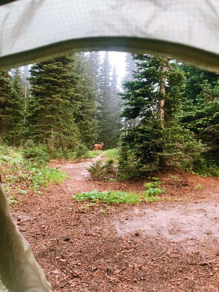
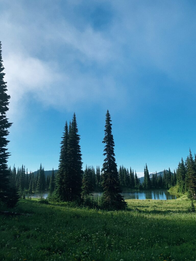
We awake to a misty fog rolling through the trees, a deer chomping on the vegetation the only sound amidst a quiet morning. It’s hard to get up. Last night the temperature dropped low enough here at 5,800’ to actually warrant bundling up properly, and the thought of dragging myself into the chill now is unappealing. Once I’m finally out of the tent, I can’t even see the lake through the clouds. They’re moving fast, though, so by the time we’re packed and walking away, I can see it once more for a final look.
The morning is turning into a stunner. As we begin the climb up to Cispus Pass, we walk on trail lined by green foliage and more flowers, flowing streams and vibrant mossy patches, pockets of blue sky peeking through the lifting fog. Today is the day we’ll hit Goat Rocks, and if this is only the prelude, then we are in for a treat.
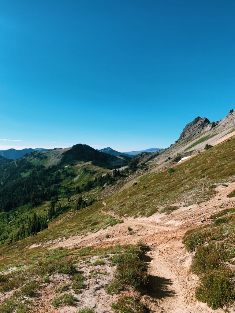
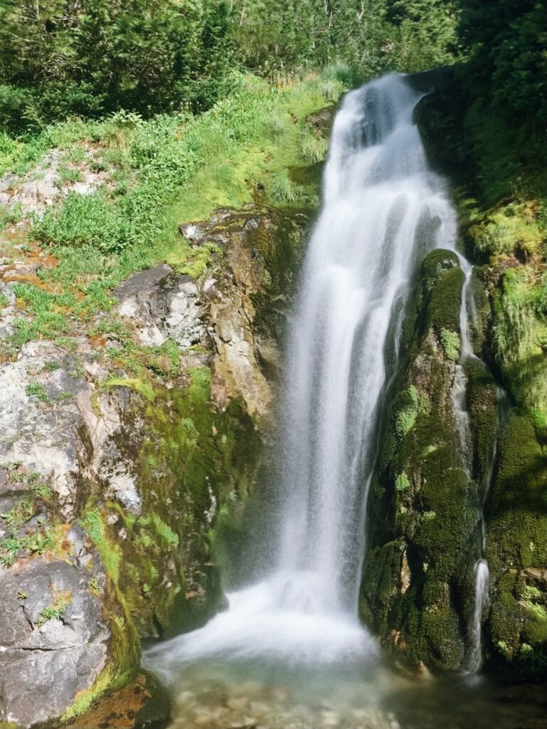
Continuing on from the pass drops us into a basin nearly over saturated with color, the greens and blues so vivid and deep. We hop across magical streams that tumble down from the craggy mountaintops above us, the water ice cold and crystal clear, and cross over the trail before continuing on further down into the valley. The views are sweeping, even entrancing.
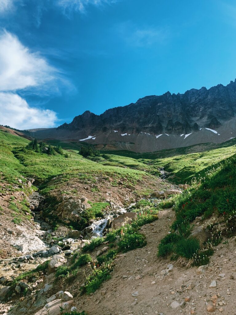
Too soon, the saturated greens and deep blue sky begin to fade away. We’ve been steadily gaining elevation since leaving the valley behind us, and the exposed alpine has brought a shift in the weather. We approach our first snow patch and my body and mind seem to kick into high alert, as if my cave-woman brain is going “You’re exposed at elevation and a storm’s rolling in – unsafe unsafe unsafe!”
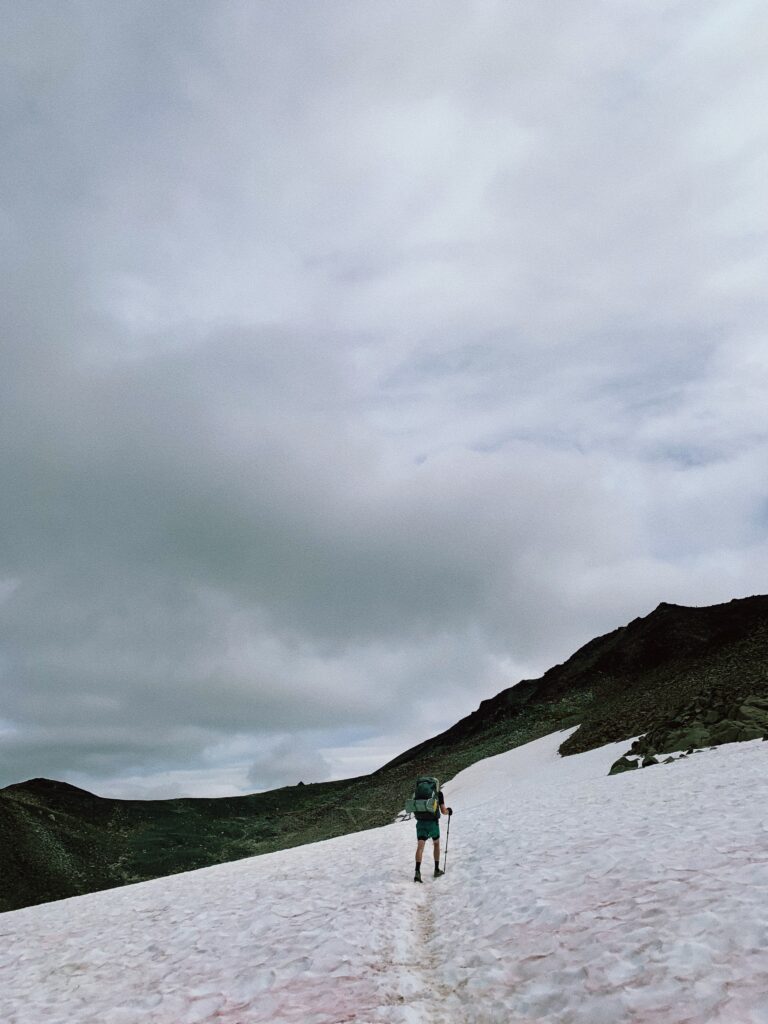
Ahead of us is a decision: continue on the original PCT route that cuts straight across the mountainside or take the alternate. It’s snowfield or scramble, and we slow as we approach the junction, peering ahead at the snow traverse. Two men are currently halfway across and I can’t help but hold my breath as I watch them, sans hiking poles and clad in trail runners. My heart pounds even from the safety of where I currently stand on wider trail, hard packed dirt and rock beneath my feet. The snow ahead is steep and the runout is bad, meaning one little slip could be high consequence. Do we save time by cutting straight across, or save our sanity by climbing around for the safe bet?
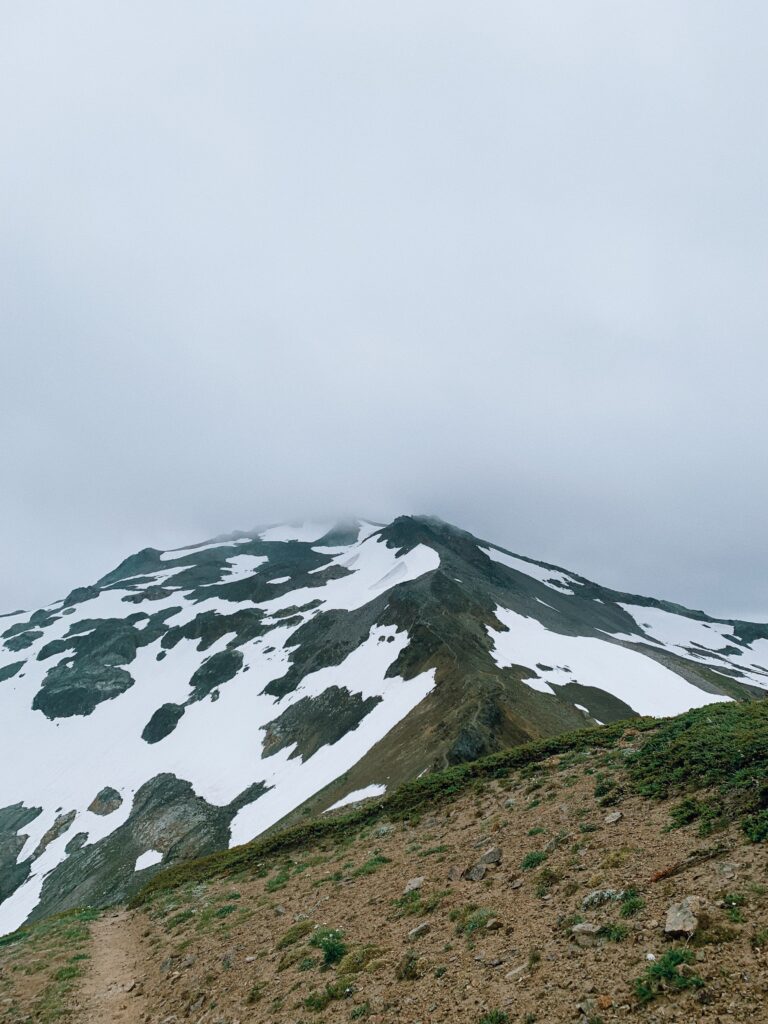
Overhead, the storm is rolling in fast and yet we turn to take the alternate, settling in for a climb up towards Old Snowy Mountain. The higher we get, the more it begins to feel as if we are walking on dinner plates. Rocks clink beneath our feet, the talus loose and uneven. It’s not easy hiking but I’m glad to be facing the swirling wind and chunky rock rather than the possibility of sliding off the trail into oblivion.
There’s no time to appreciate this though, because the weather is continuing to turn and my head goes down, concentrating on each footstep. At last we crest the climb and can begin our descent to rejoin the PCT, but even this is no relief. If anything, it’s harder going down as we slide around on the loose, slick rocks.
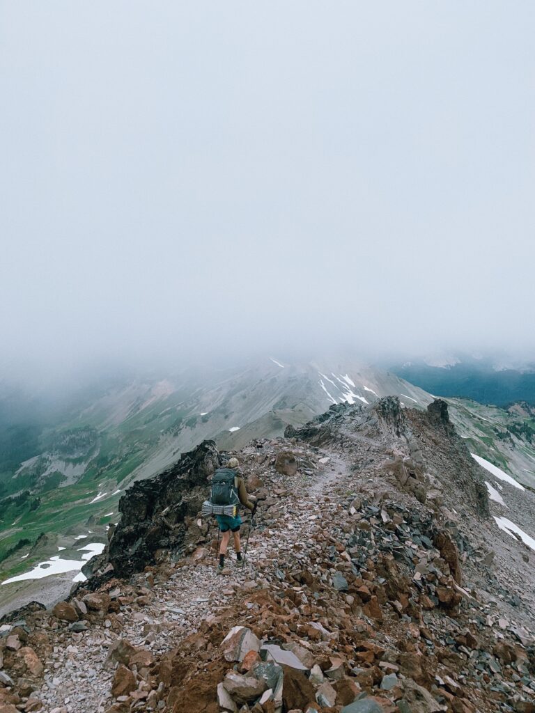
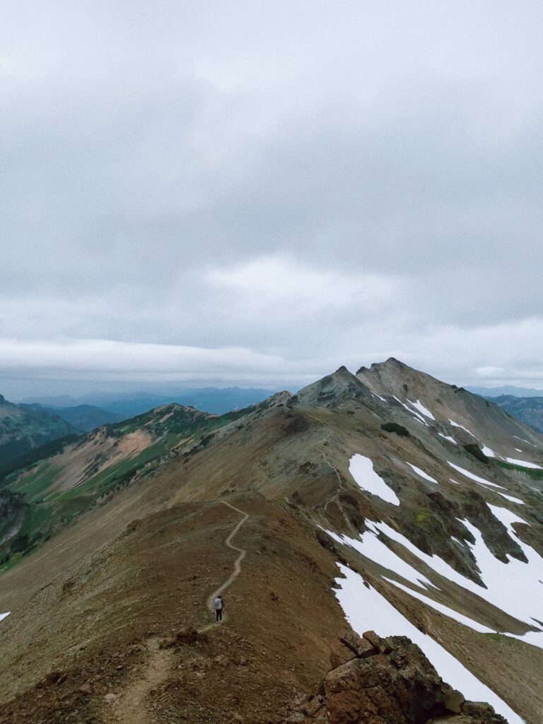
We’re just about back to the PCT when we pause to eat food against a boulder, thinking we should grab a break before the weather really turns. But then it starts raining. The wind picks up even more and any semblance of lunch is scarfed down or shoved back into food bags as we reach for our rain gear. It’s getting cold fast so we layer up and get moving again, our eyes set on the Knife Edge before us – a thin line of trail jutting along the ridge line all the way to the horizon.
^^ Looking back towards where we just were. Knife Edge, indeed.
The path beneath us is slick and narrow. I try to stop and get my head up so I can take in the beauty of the Goat Rocks Wilderness, but those moments are short lived, for slowing down means either my body temperature drops or I start to feel a touch of vertigo, what with the sharp drop offs and thin trail. In doing so, though, my eyes catch on a whole herd of mountain goats. I guess this place is living up to its name – there are goats, and rocks, and in the pouring rain and wind it feels even more like a wilderness.
Finally, finally, we are back into tree line, wiped out after another section of no breaks – only this time it’s due to the weather instead of the bugs. The rain peters out with our continued descent into the safety of the trees, and we decide to push on to the spring ahead to avoid both dry camping (camping without a water source) and a longer day into White Pass tomorrow.
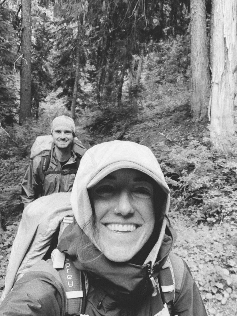
Our evening is short as we are tired and the tentsite fills up early, likely given how close we are to the pass. I’m not convinced the rain is done for the night, either, and it’s not – it’ll wake me up in the middle of the night, my mind clamoring to complete the mental checklist of tent stakes secured and everything rain-proofed, at last drifting back to sleep once I’ve reminded myself I’m safe and dry.
Day 11 (82 Total)
Hidden Springs at NOBO Mile 2289.4 to White Pass, 8.2 miles
1,205.9 Total PCT Miles
The morning could be described with the following set of words: cold, damp, soggy, green, elk. Alternately: classic Washington.
At just about 5500’, we’re low enough to be out of the alpine and high enough for there to be a bite in the air. Everything is wet from yesterday’s rain, and it’s not long before our socks are squelching with each step, legs coated in water as we continue to push our way through the car wash of plants that tightly hug the trail. I’m soaked.
But gosh darn it, it’s still so beautiful out here (and yes I’m running out of adjectives I don’t know what to tell ya!) If anything, the rolling clouds make everything seem that much more majestic (we’re likely missing insane views of Mt. Rainier but we’ll just ignore that little fact.) Ahead, I can see the trail cutting straight across a green (of course) hillside dotted in flowering pink heather and quite frankly, I can’t get over it.
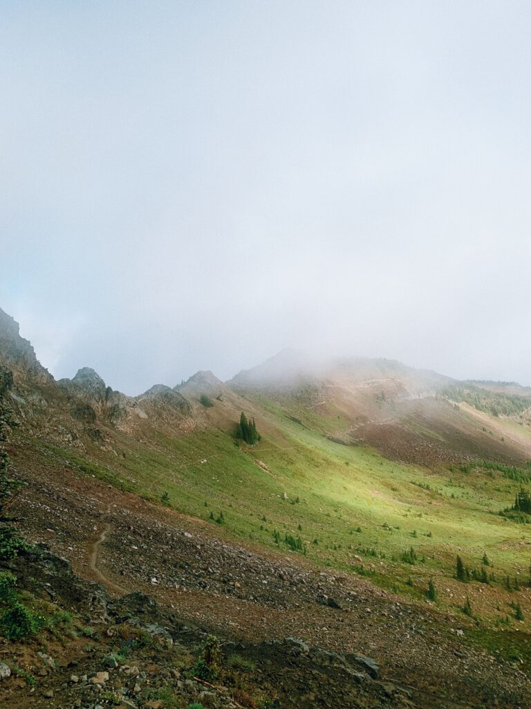
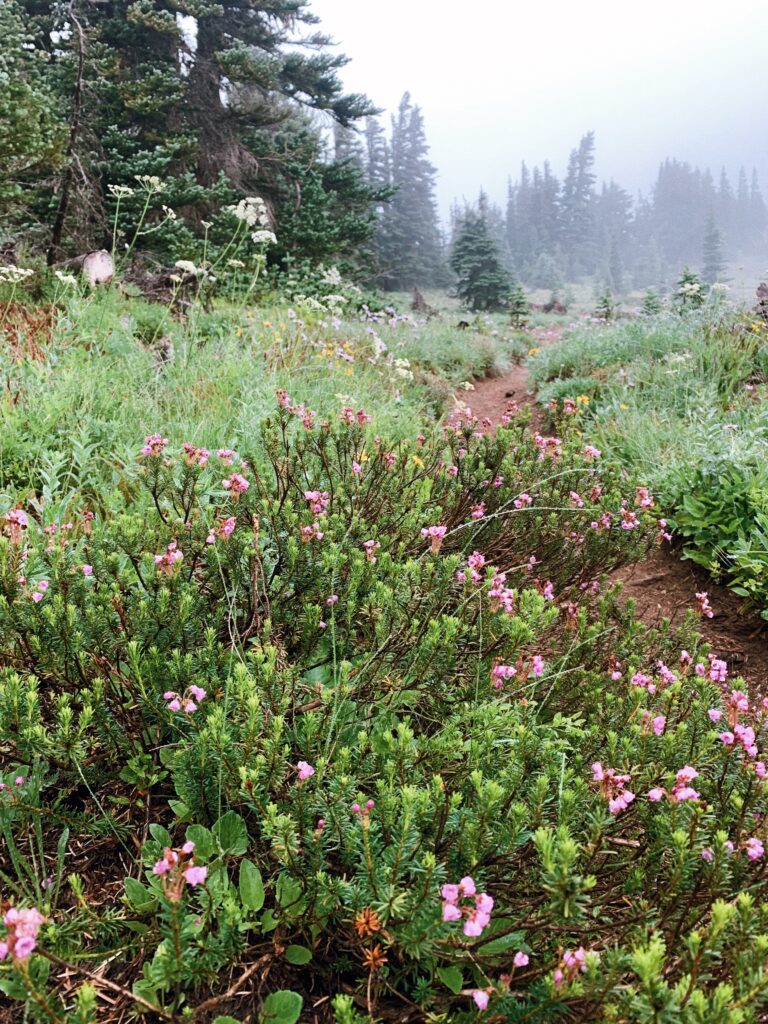
I begin to feel the now-familiar tension between town and trail, trail and town. Excited for everything that civilization brings (i.e. food, shower, clean clothes, and not being wet) but sad that this section is coming to an end. Really sad.
It’s not long before we hit tree line and disappear into the woods, the plants becoming damper and the puddles growing bigger. There is some victory, though, in the lack of mosquitos. We begin to hear the highway sounds soon after passing by the chairlifts, and from there it’s a 3-4 mile descent to White Pass that begins to feel more like 7-9 miles. Hearing the highway is akin to seeing the parking lot but still having a ways to go to get there, like – ok, it doesn’t even feel like we’re out in nature anymore so can I just be there already? But deep down I’m glad I’m here right where I am, soaking feet squishing through soggy trail, for at least a little bit longer.
As we head into our final two miles, we come around a corner and Kellen abruptly stops, motioning me to stay quiet. At the switchback ahead, just off trail, is an elk. My eyes adjust. No, more than one. They’re hard to see but we listen to them move softly through the greenery, the quiet broken by the cows and calves mewing and barking back and forth. Clearly we’ve been spotted, or more likely, heard. Or smelled. The sound is eerie, almost otherworldly, and we stop for a minute to listen and give them space before continuing on.
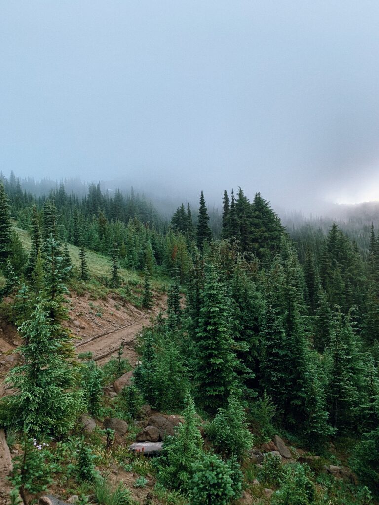
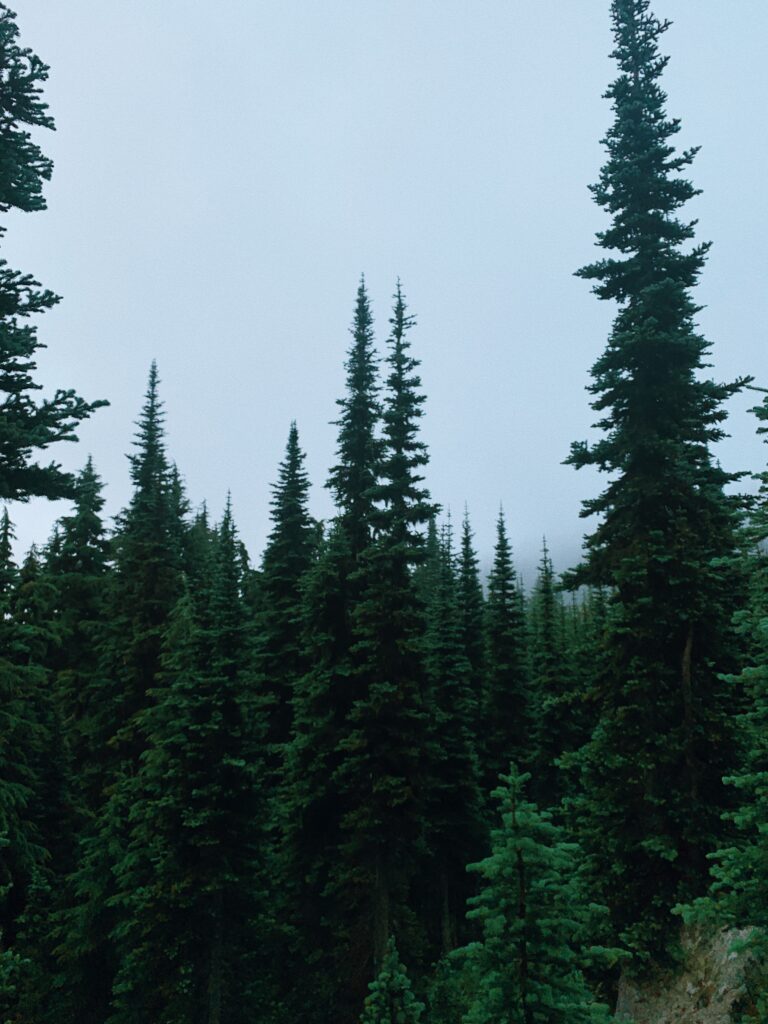
The switchbacks continue down, down, down, and the highway noise gets louder, louder, louder, until we’re spit out into the parking lot adjacent to Highway 12. Sweet relief. The sun is soft on our backs as we walk to the one store at the pass. How are we getting home? Classically, I don’t know. I must eat, and I must warm up. Everything else is moot at this point.
Dropping our packs outside of Kracker Barrel (not the restaurant, a service station/convenience store), we wander in with hopes of eating something resembling real food. Five minutes later we’re seated at a tiny table amidst clusters of other hikers, breakfast sandwiches and steaming coffee spread out before us. I wouldn’t say it’s a total success on the “real food” front, but it is hot and tastes better than a bar so we count it as a win.
Through a series of calls, a ride into Packwood, putting away a lot of coffee, pastries, and pub food in a short amount of time, loitering in the library’s yard, two hours too many in the car with a very generous but chain-smoking man, and a last-minute pick up in Chehalis by my sister, we end up in Olympia. Emma and Nelson, thank you for letting us shower and do laundry and roast marshmallows and wear your clean clothes.
Perhaps more than ever before, it’s been a section of dualities: wet and dry, hot and cold, buggy and bug-free, easy and hard, nothing like I thought and exactly how I’d imagined. Time on trail is over too soon (it always is), and even so, there is immense gratitude for the miles I do get to spend out here (there always is). Here’s to this section and whichever one comes next. Onward.